
1905 Map of Grosse Pointe
USGS Topo · Published 1905About this map
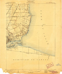
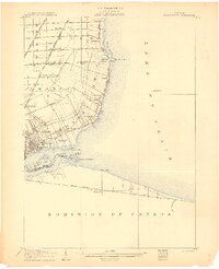
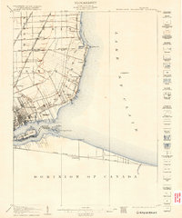
The eastern edges of Wayne County meet the waters of Lake St Clair in this early 20th-century coastal survey. The map reveals the early suburban development of Grosse Pointe and Grosse Pointe Farms, where the landscape is defined by long, narrow ribbon farms extending inland from the shore. The Detroit and Port Huron Electric Ry and Gratiot Ave serve as the primary conduits for growth, connecting rural outposts like Halfway and Roseville to the industrial centers of the Detroit River. Along the coast, leisure and infrastructure intersect at the Country Club Ho and the Grosse Pointe Water Works Intake Pipe Lt, while the southern portion of the map highlights the recreational grounds of Belle Isle Park and the vital shipping lanes of the Detroit River near Windmill Pt.
Find a feature on this map
45 named features on this map. Tap any name to fly to it.
Don’t see what you’re looking for? This feature index may not catch every label — zoom into the map to look around manually.
Map Details
Editions of this 1905 Grosse Pointe Map
4 editions found
Other maps of this area

1905 · Detroit
USGS Topo · 1:62,500

1906 · Wyandotte
USGS Topo · 1:62,500

1908 · Rochester
USGS Topo · 1:62,500

1912 · Mt Clemens
USGS Topo · 1:62,500

1912 · Wyandotte
USGS Topo · 1:62,500

1914 · Algonac
USGS Topo · 1:62,500

1918 · Detroit
USGS Topo · 1:62,500

1918 · Grosse Pointe
USGS Topo · 1:62,500

1924 · Detroit
USGS Topo · 1:62,500

1929 · Mt Clemens
USGS Topo · 1:62,500