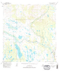
1950 Map of Gulkana C-4
USGS Topo · Published 1977About this map
The Gulkana River and its complex network of tributaries dominate this 1950s interior landscape, showing the region just as modern infrastructure began to cut through the wilderness. Along the eastern edge, the Richardson Highway provides the primary overland route, shadowed by the massive undertaking of The Trans-Alaska Pipeline (Under Construction). This juxtaposition of raw terrain and industrial progress is most evident near Sourdough, where a small settlement, Sourdough Campground, and a Gaging Sta mark a rare point of human activity.
Find a feature on this map
13 named features on this map. Tap any name to fly to it.
Don’t see what you’re looking for? This feature index may not catch every label — zoom into the map to look around manually.
Map Details
Editions of this 1950 Gulkana C-4 Map
4 editions found
Other maps of this area

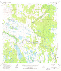
1949 · Gulkana D-3
USGS Topo · 1:63,360

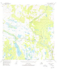
1950 · Gulkana D-4
USGS Topo · 1:63,360

1950 · Gulkana B-3
USGS Topo · 1:63,360

1950 · Gulkana C-3
USGS Topo · 1:63,360

1950 · Gulkana C-4
USGS Topo · 1:63,360

1951 · Gulkana
USGS Topo · 1:250,000

1951 · Gulkana B-5
USGS Topo · 1:63,360

1951 · Gulkana D-5
USGS Topo · 1:63,360

1951 · Gulkana C-5
USGS Topo · 1:63,360

1951 · Gulkana B-4
USGS Topo · 1:63,360