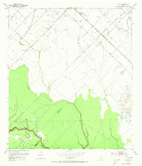
1953 Map of Guy
USGS Topo · Published 1973About this map
The Gulf Colorado and Santa Fe railroad cuts a diagonal line across this landscape, defining the local corridor between Guy and Guy (Siding). In the early 1950s, this area of the Texas coastal plain was deeply rooted in extraction and agriculture, marked by the presence of the Damon Mound Oil Field and the Needville Field. The terrain is characterized by the prominent rise of Damon Mound in the southeast, a significant geological feature in an otherwise flat expanse of prairie and timber.
Find a feature on this map
21 named features on this map. Tap any name to fly to it.
Don’t see what you’re looking for? This feature index may not catch every label — zoom into the map to look around manually.
Map Details
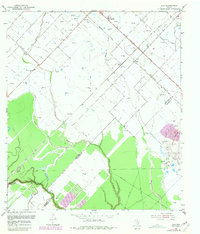
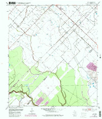
Editions of this 1953 Guy Map
4 editions found
Other maps of this area

1950 · Houston
USGS Topo · 1:250,000

1952 · West Columbia
USGS Topo · 1:24,000

1952 · Danciger
USGS Topo · 1:24,000

1952 · Pledger
USGS Topo · 1:24,000

1953 · Needville
USGS Topo · 1:24,000

1953 · Guy
USGS Topo · 1:24,000

1953 · Lake George
USGS Topo · 1:24,000

1953 · Kendleton
USGS Topo · 1:24,000

1953 · Damon
USGS Topo · 1:24,000

1953 · Boling
USGS Topo · 1:24,000