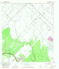
1953 Map of Guy
USGS Topo · Published 1981About this map
The Needville Oil Field and the distinct topographic rise of Damon Mound anchor this mid-century survey of the Texas coastal prairie. This landscape is a patchwork of early industrial extraction and agricultural settlement, characterized by a dense network of windmills and petroleum infrastructure. The community of Guy serves as a local hub, situated where the Atchison Topeka and Santa Fe Railroad intersects the Memorial Highway.
Find a feature on this map
25 named features on this map. Tap any name to fly to it.
Don’t see what you’re looking for? This feature index may not catch every label — zoom into the map to look around manually.
Map Details
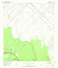
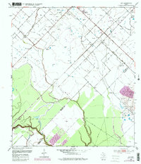
Editions of this 1953 Guy Map
4 editions found
Other maps of this area

1950 · Houston
USGS Topo · 1:250,000

1952 · West Columbia
USGS Topo · 1:24,000

1952 · Danciger
USGS Topo · 1:24,000

1952 · Pledger
USGS Topo · 1:24,000

1953 · Needville
USGS Topo · 1:24,000

1953 · Guy
USGS Topo · 1:24,000

1953 · Lake George
USGS Topo · 1:24,000

1953 · Kendleton
USGS Topo · 1:24,000

1953 · Damon
USGS Topo · 1:24,000

1953 · Boling
USGS Topo · 1:24,000