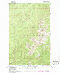
1967 Map of Gypsy Peak
USGS Topo · Published 1986About this map
The high ridges and mineral prospects of northeastern Washington meet the international boundary in this detailed study of the upper Pend Oreille Co panhandle. The map captures the meeting point of British Columbia and Washington, where the steep terrain of Gypsy Ridge and Salmo-Priest Ridge rises toward the summit of Gypsy Peak. Industry and recreation overlap here, with the Lead Hill Mine and various Prospects located on the slopes of Lead Hill, a reflection of the region's mining heritage in the Metaline district.
Find a feature on this map
38 named features on this map. Tap any name to fly to it.
Don’t see what you’re looking for? This feature index may not catch every label — zoom into the map to look around manually.
Map Details
Editions of this 1967 Gypsy Peak Map
3 editions found
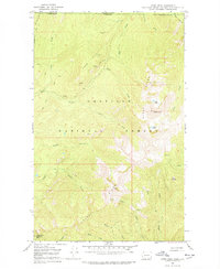
Other maps of this area

1934 · Metaline
USGS Topo · 1:125,000

1942 · Metaline
USGS Topo · 1:125,000

1958 · Sandpoint
USGS Topo · 1:250,000

1963 · Sandpoint
USGS Topo · 1:250,000

1967 · Gypsy Peak
USGS Topo · 1:24,000

1967 · Boundary Dam
USGS Topo · 1:24,000

1967 · Salmo Mtn.
USGS Topo · 1:24,000

1967 · Metaline Falls
USGS Topo · 1:24,000

1967 · Helmer Mtn
USGS Topo · 1:24,000

1967 · Pass Creek
USGS Topo · 1:24,000