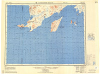
1951 Map of Hagemeister Island
USGS Topo · Published 1958About this map
The remote coastline of Southwest Alaska is documented here during the mid-twentieth century, dominated by the maritime expanse of Bristol Bay and Kuskokwim Bay. The map reveals a land defined by its massive coastal features, from the prominent Hagemeister Island in the Hagemeister Strait to the jagged protrusion of Cape Newenham. A Winter Trail provides the only recorded overland transport route, connecting the interior drainage of the Osviak River toward the northern coastal reaches.
Find a feature on this map
55 named features on this map. Tap any name to fly to it.
Don’t see what you’re looking for? This feature index may not catch every label — zoom into the map to look around manually.
Map Details
Editions of this 1951 Hagemeister Island Map
2 editions found

Other maps of this area

1945 · Nushagak Bay
USGS Topo · 1:250,000
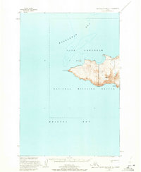
1947 · Hagemeister Island C-7
USGS Topo · 1:63,360

1947 · Hagemeister Island D-2
USGS Topo · 1:63,360

1948 · Hagemeister Island D-3
USGS Topo · 1:63,360

1948 · Hagemeister Island C-6
USGS Topo · 1:63,360

1948 · Hagemeister Island C-4
USGS Topo · 1:63,360

1948 · Hagemeister Island C-3
USGS Topo · 1:63,360
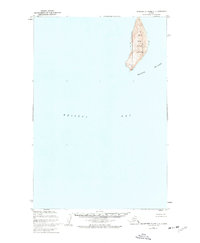
1948 · Hagemeister Island C-2
USGS Topo · 1:63,360

1948 · Hagemeister Island C-1
USGS Topo · 1:63,360

1948 · Hagemeister Island C-5
USGS Topo · 1:63,360