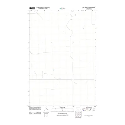
2011 Map of Half Timber Butte
USGS Topo · Published 2011About this map
Battle Creek meanders across this prairie landscape in the Cannonball District, providing a vital water source in this corner of Sioux County. This digital-age elevation study reveals the sparse but distinct geography of the region as it appeared in the early twenty-first century. The namesake Half Timber Butte stands as the primary topographical landmark south of the creek's main course, rising above the surrounding plains. The map illustrates a landscape defined by widely spaced section lines and a minimal road network, reflecting the enduring rural character and low population density of the North Dakota grasslands. Researchers can trace the drainage patterns and the specific contours of the land in this largely undeveloped area of the Great Plains.
Find a feature on this map
2 named features on this map. Tap any name to fly to it.
Don’t see what you’re looking for? This feature index may not catch every label — zoom into the map to look around manually.
Map Details
Editions of this 2011 Half Timber Butte Map
This is the sole edition of this map. No revisions or reprints were ever made.
Other maps of this area

1954 · Bismarck
USGS Topo · 1:250,000

1958 · Bismarck
USGS Topo · 1:250,000

1968 · Fort Yates NW
USGS Topo · 1:24,000

1968 · Cannon Ball NW
USGS Topo · 1:24,000

1968 · Cannon Ball SW
USGS Topo · 1:24,000

1971 · Barren Butte
USGS Topo · 1:24,000

1971 · Half Timber Butte
USGS Topo · 1:24,000

1971 · Froelich Dam
USGS Topo · 1:24,000

1971 · Solen SW
USGS Topo · 1:24,000

1980 · Solen
USGS Topo · 1:24,000