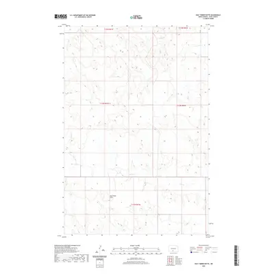
2020 Map of Half Timber Butte
USGS Topo · Published 2020About this map
Half Timber Butte dominates the southern landscape of this Sioux County quadrangle, situated within the Cannonball District. The terrain is defined by the winding course of Battle Cr, which meanders through the township boundaries of t132n r81w and t133n r80w. This topographic study reveals a largely open landscape punctuated by sharp elevation changes around the butte and its surrounding drainage systems. Modern infrastructure is represented by 16th Ave, which provides one of the primary north-south corridors through this section of North Dakota. The map provides a clear view of the Public Land Survey System grid, illustrating the spatial organization of sections and ranges that continue to define property and land use in this part of the Great Plains.
Find a feature on this map
8 named features on this map. Tap any name to fly to it.
Don’t see what you’re looking for? This feature index may not catch every label — zoom into the map to look around manually.
Map Details
Editions of this 2020 Half Timber Butte Map
This is the sole edition of this map. No revisions or reprints were ever made.
Other maps of this area

1954 · Bismarck
USGS Topo · 1:250,000

1958 · Bismarck
USGS Topo · 1:250,000

1968 · Fort Yates NW
USGS Topo · 1:24,000

1968 · Cannon Ball NW
USGS Topo · 1:24,000

1968 · Cannon Ball SW
USGS Topo · 1:24,000

1971 · Barren Butte
USGS Topo · 1:24,000

1971 · Half Timber Butte
USGS Topo · 1:24,000

1971 · Froelich Dam
USGS Topo · 1:24,000

1971 · Solen SW
USGS Topo · 1:24,000

1980 · Solen
USGS Topo · 1:24,000