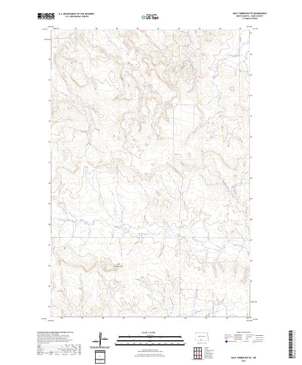
2024 Map of Half Timber Butte
USGS Topo · Published 2024About this map
Half Timber Butte rises from the grasslands of Sioux County, serving as a primary landmark in this section of the Great Plains. The land is defined by the winding course of Battle Creek, which traverses the township lines in a landscape primarily organized by the Public Land Survey System. The map reveals the characteristic drainage patterns of the region, where seasonal watercourses have carved intricate coulees into the surrounding prairie. This 2024 data reflects a rural area largely devoid of concentrated modern development, preserving the legal boundaries of sections such as t132n r81w and t134n r80w. It remains a document of the open range and the topographical relief that dictated early ranching and travel routes across this portion of North Dakota.
Find a feature on this map
7 named features on this map. Tap any name to fly to it.
Don’t see what you’re looking for? This feature index may not catch every label — zoom into the map to look around manually.
Map Details
Editions of this 2024 Half Timber Butte Map
This is the sole edition of this map. No revisions or reprints were ever made.
Other maps of this area

1954 · Bismarck
USGS Topo · 1:250,000

1958 · Bismarck
USGS Topo · 1:250,000

1968 · Fort Yates NW
USGS Topo · 1:24,000

1968 · Cannon Ball NW
USGS Topo · 1:24,000

1968 · Cannon Ball SW
USGS Topo · 1:24,000

1971 · Barren Butte
USGS Topo · 1:24,000

1971 · Half Timber Butte
USGS Topo · 1:24,000

1971 · Froelich Dam
USGS Topo · 1:24,000

1971 · Solen SW
USGS Topo · 1:24,000

1980 · Solen
USGS Topo · 1:24,000