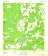
1962 Map of Hamburg
USGS Topo · Published 1964About this map
The Aucilla River and its tributary, the Little Aucilla River, define this landscape along the boundary of Jefferson and Madison counties. This mid-century survey reveals a rural network of small communities and family landmarks, where the Southern Railroad Grade cuts through the western timberlands. The area is marked by numerous houses of worship, including Shiloh Ch and New Canaan Ch, often situated alongside community burial grounds like the Redding-Hammock Cem.
Find a feature on this map
35 named features on this map. Tap any name to fly to it.
Don’t see what you’re looking for? This feature index may not catch every label — zoom into the map to look around manually.
Map Details
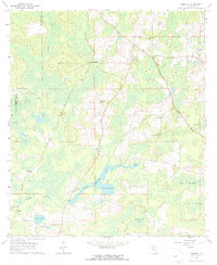
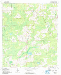
Editions of this 1962 Hamburg Map
3 editions found
Other maps of this area

1954 · Greenville
USGS Topo · 1:24,000

1954 · Greenville NE
USGS Topo · 1:24,000

1954 · Valdosta
USGS Topo · 1:250,000

1956 · Grooverville
USGS Topo · 1:24,000

1956 · Nankin
USGS Topo · 1:24,000

1956 · Baden
USGS Topo · 1:24,000

1958 · Valdosta
USGS Topo · 1:250,000

1959 · Valdosta
USGS Topo · 1:250,000

1959 · Madison
USGS Topo · 1:24,000

1960 · Cherry Lake
USGS Topo · 1:24,000