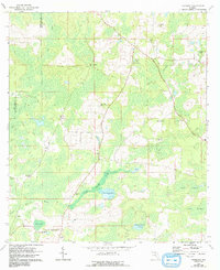
1962 Map of Hamburg
USGS Topo · Published 1993About this map
Little Aucilla River meanders through the wet hammocks and islands of the Florida-Georgia borderlands, defining the rural character of this northern Madison County landscape. During the mid-20th century, the area supported scattered communities like Hamburg and Maysland, where life centered around local institutions such as Hamburg Sch and Ebenezer Ch. The map reveals a transition from the swampy lowlands of Mays Island and Devils Woodyard to higher ground where the Lovett Lookout Tower once stood watch over the pine forests. Genealogists will find a wealth of family-named landmarks and resting places, including Redding Cem and Sardis Cem. A defunct Railroad Grade cutting across the terrain north of Bailey serves as a silent reminder of the timber and transport networks that once linked these isolated settlements to larger markets.
Find a feature on this map
33 named features on this map. Tap any name to fly to it.
Don’t see what you’re looking for? This feature index may not catch every label — zoom into the map to look around manually.
Map Details
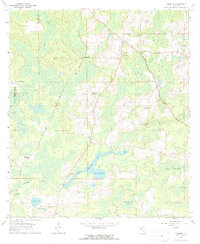
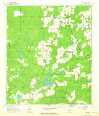
Editions of this 1962 Hamburg Map
3 editions found
Other maps of this area

1954 · Greenville
USGS Topo · 1:24,000

1954 · Greenville NE
USGS Topo · 1:24,000

1954 · Valdosta
USGS Topo · 1:250,000

1956 · Grooverville
USGS Topo · 1:24,000

1956 · Nankin
USGS Topo · 1:24,000

1956 · Baden
USGS Topo · 1:24,000

1958 · Valdosta
USGS Topo · 1:250,000

1959 · Valdosta
USGS Topo · 1:250,000

1959 · Madison
USGS Topo · 1:24,000

1960 · Cherry Lake
USGS Topo · 1:24,000