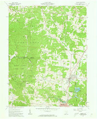
1961 Map of Hamden
USGS Topo · Published 1963About this map
Hamden serves as a central hub in the early 1960s where the Baltimore and Ohio and Chesapeake and Ohio railroads intersect, highlighting the region's historical reliance on rail transport. The landscape is heavily marked by the extraction industry, with numerous Strip Mines and Gas Wells appearing throughout the northern hills of the Wayne National Forest and Richland Furnace State Forest. These industrial features contrast with the recreational and conservation focus at Lake Alma State Reserve and Walleye Lake. Local genealogy and community life are anchored by several country churches and family-named cemeteries, such as Antioch Ch, Mt Zion Ch, and the Martindill Cem. The presence of the Reed Hill Lookout Tower and Washington Sch suggests a rural landscape where forest management and local education were primary community pillars before the expansion of modern Wellston at the southern margin.
Find a feature on this map
53 named features on this map. Tap any name to fly to it.
Don’t see what you’re looking for? This feature index may not catch every label — zoom into the map to look around manually.
Map Details
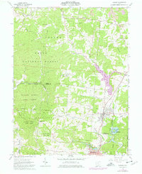
Editions of this 1961 Hamden Map
2 editions found
Other maps of this area

1904 · Zaleski
USGS Topo · 1:62,500

1905 · Wilkesville
USGS Topo · 1:62,500

1907 · Zaleski
USGS Topo · 1:62,500

1908 · Wilkesville
USGS Topo · 1:62,500

1910 · Laurelville
USGS Topo · 1:62,500

1912 · Laurelville
USGS Topo · 1:62,500

1913 · Jackson
USGS Topo · 1:62,500

1944 · Jackson
USGS Topo · 1:62,500

1944 · Laurelville
USGS Topo · 1:62,500

1947 · Columbus
USGS Topo · 1:250,000