
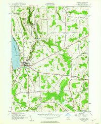
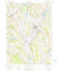
2023 Map of Hamilton
USGS Topo · Published 2023About this map
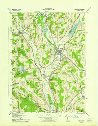
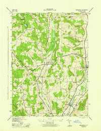
Colgate University anchors the central landscape of this Madison County survey, situated just east of the village of Hamilton. The terrain is defined by the valley of the Chenango River and a series of glacial water bodies including Lake Moraine, Woodman Pond, and Leland Pond. To the west, the village of Eaton sits near the headwaters of Eaton Brook, while smaller settlements like Randallsville, Middleport, and Poolville dot the rural corridors.
Find a feature on this map
123 named features on this map. Tap any name to fly to it.
Don’t see what you’re looking for? This feature index may not catch every label — zoom into the map to look around manually.
Map Details
Editions of this 2023 Hamilton Map
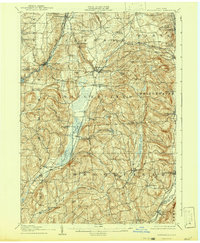
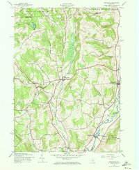
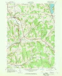
This is the sole edition of this map. No revisions or reprints were ever made.
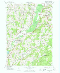
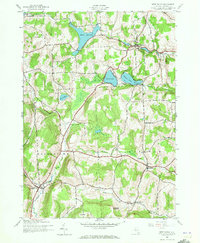
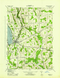
Historical Maps of Earlville Through Time
22 maps found

1897 Cazenovia
Madison County, NY

1899 Cazenovia
Madison County, NY
1907 Sangerfield
Madison County, NY
1943 Brookfield
Madison County, NY
1943 Cazenovia
Madison County, NY
1943 Erieville
Madison County, NY
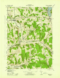
1943 Hamilton
Madison County, NY
1943 Hubbardsville
Madison County, NY

1943 Sangerfield
Madison County, NY
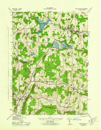
1943 West Eaton
Madison County, NY
1944 Cazenovia
Madison County, NY
1944 Erieville
Madison County, NY
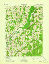
1944 Hamilton
Madison County, NY
1944 Hubbardsville
Madison County, NY
1944 West Eaton
Madison County, NY
1945 Brookfield
Madison County, NY

2023 Brookfield
Madison County, NY

2023 Cazenovia
Madison County, NY

2023 Erieville
Madison County, NY
2023 Hamilton
Madison County, NY

2023 Hubbardsville
Madison County, NY

2023 West Eaton
Madison County, NY