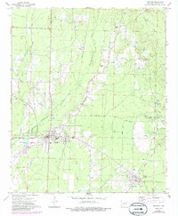
1973 Map of Hampton
USGS Topo · Published 1986About this map
Hampton serves as the central hub of this Calhoun County landscape, where the local economy and geography are defined by the winding course of Champagnolle Creek and its many tributaries like Blann Creek and Taylor Creek. The settlement pattern of the 1970s and 1980s reveals a community deeply rooted in its rural landscape, with several historic focal points including Campground Church and Earnest Cemetery (Union Church). The presence of an Old Railroad Grade near Harrell points to a transition in local transportation, while numerous Gravel Pits scattered throughout the territory indicate active resource extraction during this era. Recreation and civic life are anchored by Ham Moses Park in Hampton, providing a rare designated public space amidst the dense network of forest and stream drainages like Hurricane Creek and Sam White.
Find a feature on this map
27 named features on this map. Tap any name to fly to it.
Don’t see what you’re looking for? This feature index may not catch every label — zoom into the map to look around manually.
Map Details
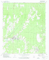
Editions of this 1973 Hampton Map
2 editions found
Other maps of this area

1903 · Camden
USGS Topo · 1:125,000

1934 · Moro Bay
USGS Topo · 1:62,500

1938 · Moro Bay
USGS Topo · 1:62,500

1939 · Moro Bay
USGS Topo · 1:62,500

1953 · El Dorado
USGS Topo · 1:250,000

1957 · El Dorado
USGS Topo · 1:250,000

1958 · El Dorado
USGS Topo · 1:250,000

1960 · El Dorado
USGS Topo · 1:250,000

1962 · Smackover NE
USGS Topo · 1:24,000

1964 · Smackover
USGS Topo · 1:62,500