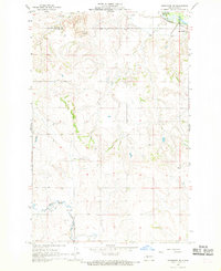
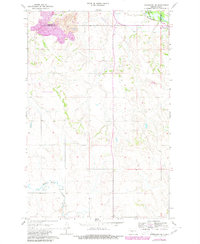
1968 Map of Hannover NE
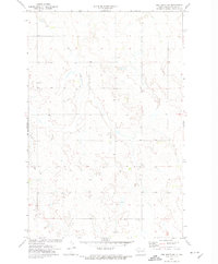
USGS Topo · Published 1969This historical map portrays the area of Hannover NE in 1968, primarily covering Oliver County as well as portions of Mercer County. Featuring a scale of 1:24000, this map provides a highly detailed snapshot of the terrain, roads, buildings, counties, and historical landmarks in the Hannover NE region at the time. Published in 1969, it is one of 2 known editions of this map due to revisions or reprints.
Find a feature on this map
12 named features on this map. Tap any name to fly to it.
Don’t see what you’re looking for? This feature index may not catch every label — zoom into the map to look around manually.
Map Details
Editions of this 1968 Hannover NE Map
2 editions found
Historical Maps of Oliver County Through Time
12 maps found
1966 Price
Oliver County, ND
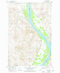
1968 Fort Clark NE
Oliver County, ND
1968 Fort Clark
Oliver County, ND
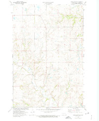
1968 Hannover NE
Oliver County, ND
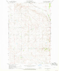
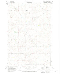
1968 Hannover NW
Oliver County, ND
1968 Red Butte NW
Oliver County, ND
1968 Red Butte
Oliver County, ND
1972 Fort Clark SE
Oliver County, ND
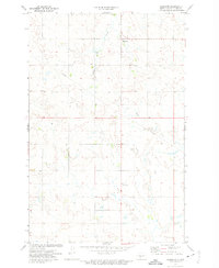
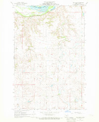
1972 Hannover
Oliver County, ND
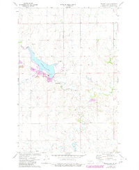
1972 Nelson Lake
Oliver County, ND
1972 Otter Creek
Oliver County, ND
1972 Red Butte SW
Oliver County, ND