
1961 Map of Hanover
USGS Topo · Published 1962About this map
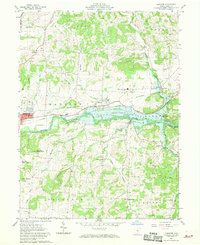
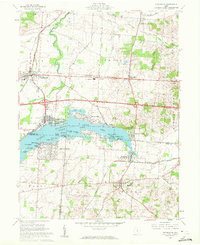
Licking River and the waters of Dillon Reservoir dominate this 1961 landscape in eastern Licking County, where the valley floor serves as a busy corridor for both the Pennsylvania Railroad and the Baltimore and Ohio Railroad. The map captures a moment of infrastructure transition, showing the reservoir at its normal pool elevation of 734 feet, which fundamentally altered the drainage patterns of Little Claylick Creek and Rocky Fork.
Find a feature on this map
43 named features on this map. Tap any name to fly to it.
Don’t see what you’re looking for? This feature index may not catch every label — zoom into the map to look around manually.
Map Details
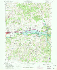
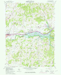
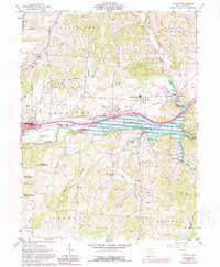
Editions of this 1961 Hanover Map
5 editions found
Other maps of this area

1909 · Newark
USGS Topo · 1:62,500

1909 · Thornville
USGS Topo · 1:62,500

1910 · Frazeysburg
USGS Topo · 1:62,500

1910 · Zanesville
USGS Topo · 1:62,500

1947 · Columbus
USGS Topo · 1:250,000

1950 · Marion
USGS Topo · 1:250,000

1961 · Columbus
USGS Topo · 1:250,000

1961 · Newark
USGS Topo · 1:24,000
1961 · Thornville
USGS Topo · 1:24,000
1961 · Utica
USGS Topo · 1:24,000