
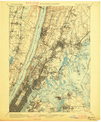
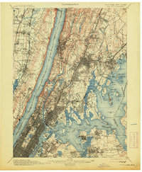
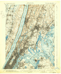
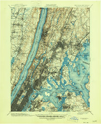
1900 Map of Harlem
USGS Topo · Published 1900About this map
Hudson River views and the dense urban expansion of the late 19th century define this coastal landscape. The transition from the rural estates of Westchester Co. to the industrializing boroughs is evident, with major greenspaces like Van Cortlandt Park and Pelham Bay Park already established against the growing street grids. Significant landmarks such as Grants Tomb and the massive Woodlawn Cemetery anchor the upper reaches of the city, while the water-bound geography of Hell Gate and the Spuyten Duyvil Creek highlights the complex maritime navigation of the era.
Find a feature on this map
169 named features on this map. Tap any name to fly to it.
Don’t see what you’re looking for? This feature index may not catch every label — zoom into the map to look around manually.
Map Details
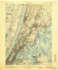
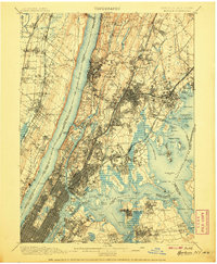
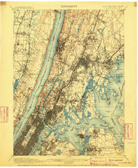
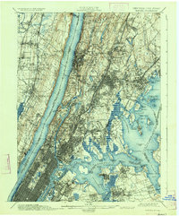
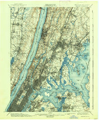
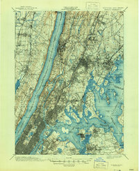
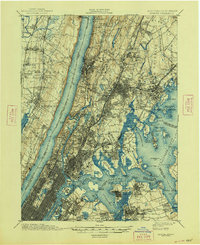
Editions of this 1900 Harlem Map
16 editions found
1900 edition
16.6 x 20.2 inches
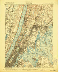
1901 edition
16.6 x 20.1 inches
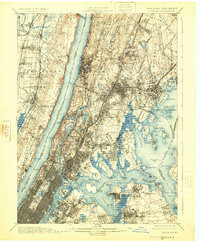
1905 edition
16.6 x 20.1 inches
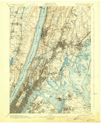
1907 edition
16.6 x 20.1 inches

1908 edition
16.6 x 20.1 inches
1910 edition
16.6 x 20.1 inches
1913 edition
16.6 x 20.1 inches
1919 edition
16.5 x 20.1 inches
1925 edition
16.6 x 20.1 inches
1928 edition
16.6 x 20.1 inches
1931 edition
16.6 x 20.1 inches
1934 edition
16.6 x 20 inches
1938 edition
16.6 x 20.1 inches
1944 edition
17 x 20.9 inches
1946 edition
17 x 20.9 inches
1948 edition
17 x 20.9 inches
Other maps of this area

1888 · Paterson
USGS Topo · 1:62,500

1889 · Brooklyn
USGS Topo · 1:62,500

1891 · Ramapo
USGS Topo · 1:62,500

1891 · Brooklyn
USGS Topo · 1:62,500

1891 · Harlem
USGS Topo · 1:62,500

1892 · Stamford
USGS Topo · 1:62,500

1892 · Paterson
USGS Topo · 1:62,500

1892 · Tarrytown
USGS Topo · 1:62,500

1893 · Stamford
USGS Topo · 1:62,500

1893 · Tarrytown
USGS Topo · 1:62,500