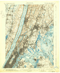
1900 Map of Harlem
USGS Topo · Published 1931About this map
The Hudson River bisects this late nineteenth-century landscape, separating the dramatic Palisades of New Jersey from the burgeoning urban grid of northern Manhattan and the Bronx. At the turn of the century, the region's transport network was dominated by heavy rail, including the West Shore Railroad and the Northern Railroad of New Jersey on the western shore, while the New York Central and Hudson River Railroad traced the eastern bank.
Find a feature on this map
168 named features on this map. Tap any name to fly to it.
Don’t see what you’re looking for? This feature index may not catch every label — zoom into the map to look around manually.
Map Details
Editions of this 1900 Harlem Map
16 editions found
1900 edition
16.6 x 20.2 inches
1901 edition
16.6 x 20.1 inches
1905 edition
16.6 x 20.1 inches
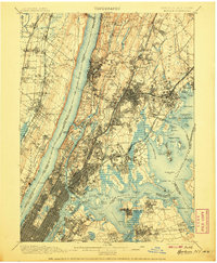
1907 edition
16.6 x 20.1 inches
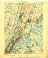
1908 edition
16.6 x 20.1 inches
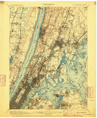
1910 edition
16.6 x 20.1 inches
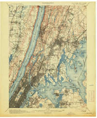
1913 edition
16.6 x 20.1 inches
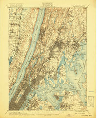
1919 edition
16.5 x 20.1 inches
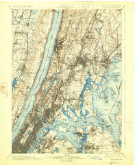
1925 edition
16.6 x 20.1 inches
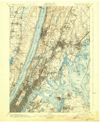
1928 edition
16.6 x 20.1 inches
1931 edition
16.6 x 20.1 inches
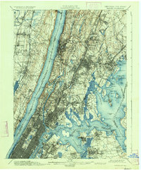
1934 edition
16.6 x 20 inches
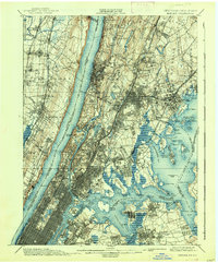
1938 edition
16.6 x 20.1 inches
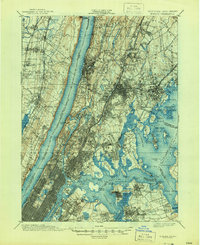
1944 edition
17 x 20.9 inches
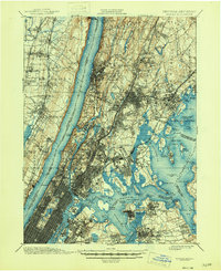
1946 edition
17 x 20.9 inches
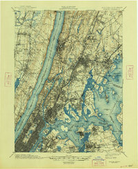
1948 edition
17 x 20.9 inches
Other maps of this area

1888 · Paterson
USGS Topo · 1:62,500

1889 · Brooklyn
USGS Topo · 1:62,500

1891 · Ramapo
USGS Topo · 1:62,500

1891 · Brooklyn
USGS Topo · 1:62,500

1891 · Harlem
USGS Topo · 1:62,500

1892 · Stamford
USGS Topo · 1:62,500

1892 · Paterson
USGS Topo · 1:62,500

1892 · Tarrytown
USGS Topo · 1:62,500

1893 · Stamford
USGS Topo · 1:62,500

1893 · Tarrytown
USGS Topo · 1:62,500