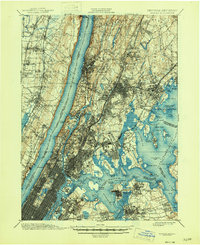
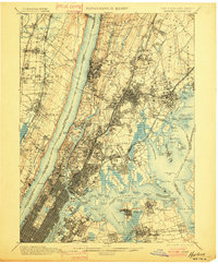
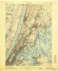
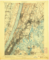
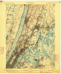
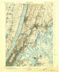
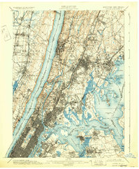
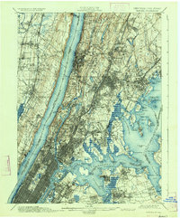
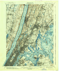
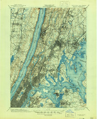
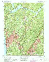
1900 Map of Harlem
USGS Topo · Published 1946About this map
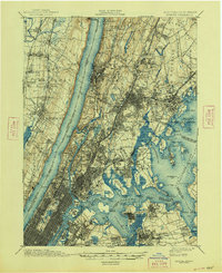
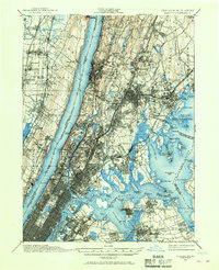
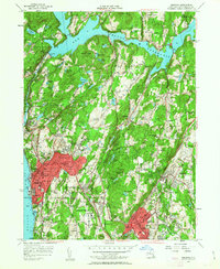
The Hudson River serves as the central spine of this landscape, separating the dramatic Palisades of New Jersey from the rapidly developing boroughs of New York. In Upper Manhattan and the Bronx, the map reveals a dense network of transit and topography, including the intricate path of the New York and Harlem RR and the New York and Putnam RR. Significant landmarks of the era are clearly visible, from the memorial at Grants Tomb to the massive Woodlawn Cemetery.
Find a feature on this map
147 named features on this map. Tap any name to fly to it.
Don’t see what you’re looking for? This feature index may not catch every label — zoom into the map to look around manually.
Map Details
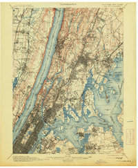
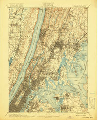
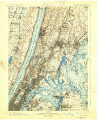
Editions of this 1900 Harlem Map
16 editions found

1900 edition
16.6 x 20.2 inches
1901 edition
16.6 x 20.1 inches
1905 edition
16.6 x 20.1 inches
1907 edition
16.6 x 20.1 inches

1908 edition
16.6 x 20.1 inches
1910 edition
16.6 x 20.1 inches
1913 edition
16.6 x 20.1 inches
1919 edition
16.5 x 20.1 inches
1925 edition
16.6 x 20.1 inches
1928 edition
16.6 x 20.1 inches
1931 edition
16.6 x 20.1 inches
1934 edition
16.6 x 20 inches
1938 edition
16.6 x 20.1 inches
1944 edition
17 x 20.9 inches
1946 edition
17 x 20.9 inches
1948 edition
17 x 20.9 inches
Historical Maps of New York Through Time
41 maps found
1897 Harlem
Westchester County, NY

1898 Harlem
Westchester County, NY
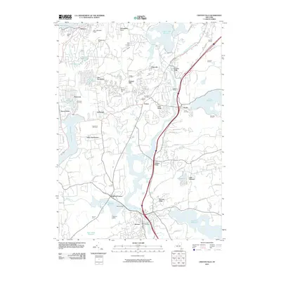
1900 Harlem
Westchester County, NY

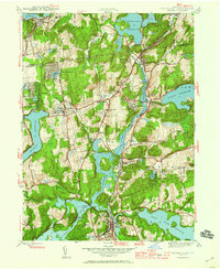
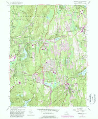
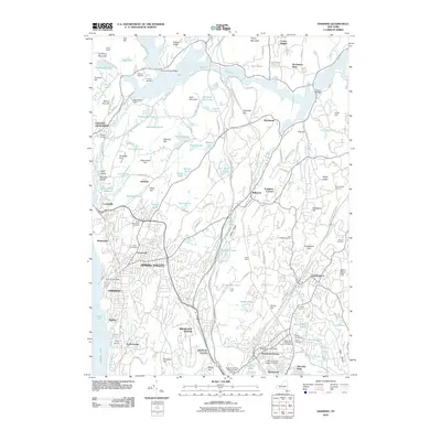
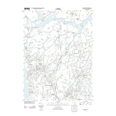
1936 Ossining
Westchester County, NY
1943 Ossining
Westchester County, NY
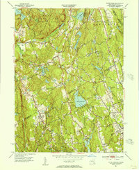
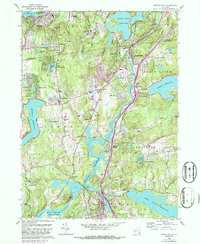
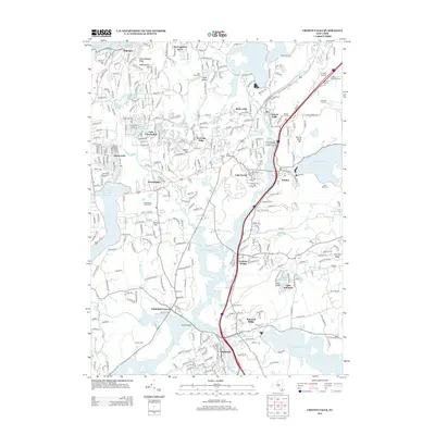
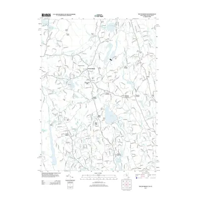
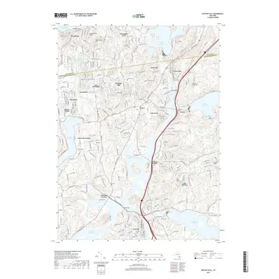
1944 Croton Falls
Westchester County, NY

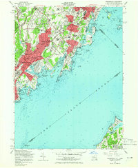
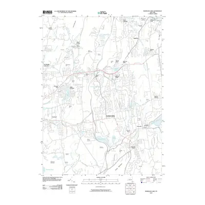
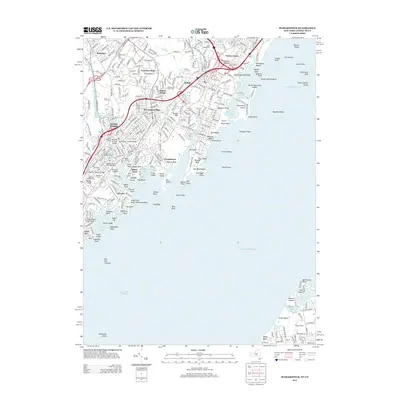
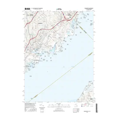
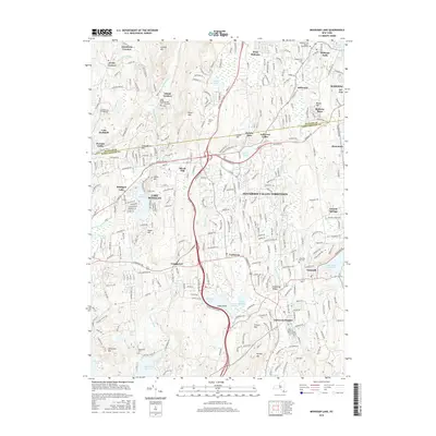
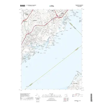
1947 Mamaroneck
Westchester County, NY

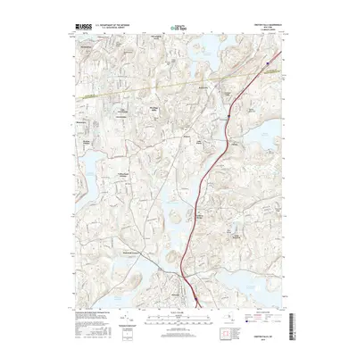
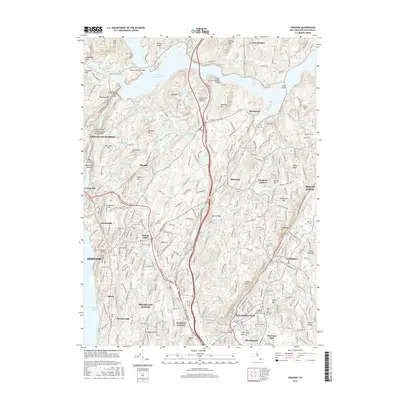
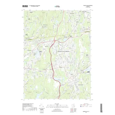
1947 Mt Vernon
Westchester County, NY

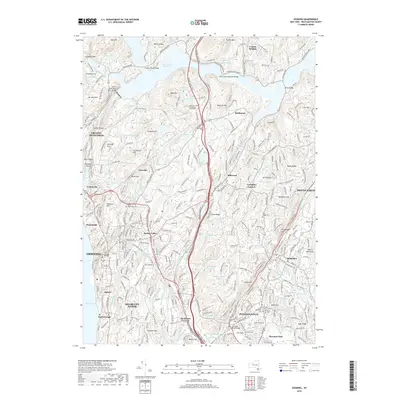
1947 Pound Ridge
Westchester County, NY
1951 Pound Ridge
Westchester County, NY
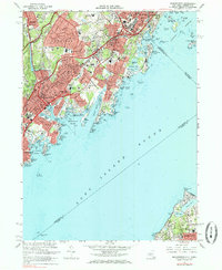
1955 Mamaroneck
Westchester County, NY
1955 Ossining
Westchester County, NY
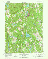
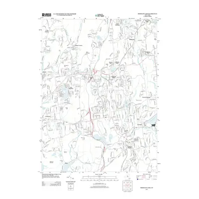
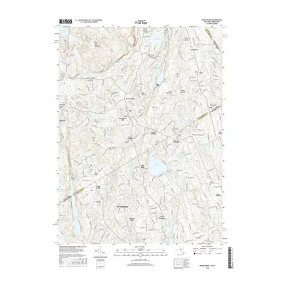
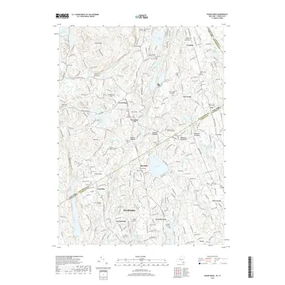
1956 Mohegan Lake
Westchester County, NY
1960 Croton Falls
Westchester County, NY
1960 Pound Ridge
Westchester County, NY
1967 Mamaroneck
Westchester County, NY
1967 Ossining
Westchester County, NY
2010 Croton Falls
Westchester County, NY
2010 Mohegan Lake
Westchester County, NY
2010 Ossining
Westchester County, NY
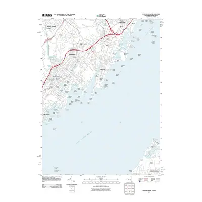
2011 Mamaroneck
Westchester County, NY
2013 Croton Falls
Westchester County, NY
2013 Mamaroneck
Westchester County, NY
2013 Mohegan Lake
Westchester County, NY
2013 Ossining
Westchester County, NY
2013 Pound Ridge
Westchester County, NY
2016 Croton Falls
Westchester County, NY
2016 Mamaroneck
Westchester County, NY
2016 Mohegan Lake
Westchester County, NY
2016 Ossining
Westchester County, NY
2016 Pound Ridge
Westchester County, NY
2019 Croton Falls
Westchester County, NY
2019 Mamaroneck
Westchester County, NY
2019 Mohegan Lake
Westchester County, NY
2019 Ossining
Westchester County, NY
2019 Pound Ridge
Westchester County, NY

2023 Croton Falls
Westchester County, NY

2023 Mamaroneck
Westchester County, NY

2023 Mohegan Lake
Westchester County, NY

2023 Ossining
Westchester County, NY

2023 Pound Ridge
Westchester County, NY