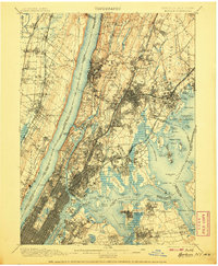
1900 Map of Harlem
USGS Topo · Published 1907About this map
Yonkers and the northern boroughs of New York City dominate this early twentieth-century landscape, appearing at a moment of rapid urban expansion. The intricate street grids of the Bronx and upper Manhattan meet the sprawling greenery of Van Cortlandt Park and the massive Woodlawn Cemetery, while the waters of the Hudson River and East River are active with trade and transit. Notable landmarks such as Grants Tomb along the Riverside Park waterfront and Fort Schuyler on the tip of Throgs Neck overlook the vital shipping channels of Long Island Sound and the Harlem River. Across the Hudson, the steep cliffs of the Palisades rise above New Jersey rail towns like Englewood and Fort Lee. This survey provides a window into the pre-war infrastructure of the region, featuring a dense network of transit lines including the N.Y. Central and Hudson River R.R. and the New York New Haven and Hartford R.R. connecting Westchester and the city.
Find a feature on this map
174 named features on this map. Tap any name to fly to it.
Don’t see what you’re looking for? This feature index may not catch every label — zoom into the map to look around manually.
Map Details
Editions of this 1900 Harlem Map
16 editions found
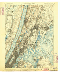
1900 edition
16.6 x 20.2 inches
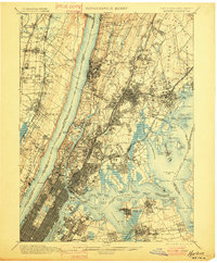
1901 edition
16.6 x 20.1 inches
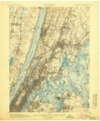
1905 edition
16.6 x 20.1 inches
1907 edition
16.6 x 20.1 inches
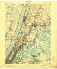
1908 edition
16.6 x 20.1 inches
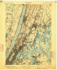
1910 edition
16.6 x 20.1 inches
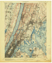
1913 edition
16.6 x 20.1 inches
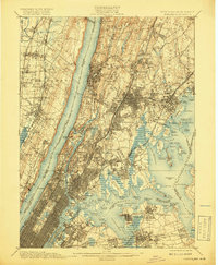
1919 edition
16.5 x 20.1 inches
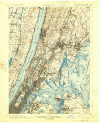
1925 edition
16.6 x 20.1 inches
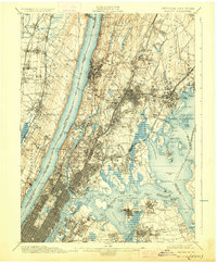
1928 edition
16.6 x 20.1 inches
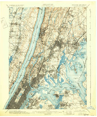
1931 edition
16.6 x 20.1 inches
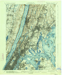
1934 edition
16.6 x 20 inches
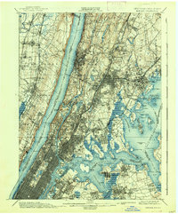
1938 edition
16.6 x 20.1 inches
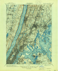
1944 edition
17 x 20.9 inches
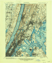
1946 edition
17 x 20.9 inches
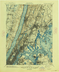
1948 edition
17 x 20.9 inches
Other maps of this area

1888 · Paterson
USGS Topo · 1:62,500

1889 · Brooklyn
USGS Topo · 1:62,500

1891 · Ramapo
USGS Topo · 1:62,500

1891 · Brooklyn
USGS Topo · 1:62,500

1891 · Harlem
USGS Topo · 1:62,500

1892 · Stamford
USGS Topo · 1:62,500

1892 · Paterson
USGS Topo · 1:62,500

1892 · Tarrytown
USGS Topo · 1:62,500

1893 · Stamford
USGS Topo · 1:62,500

1893 · Tarrytown
USGS Topo · 1:62,500