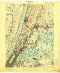
1900 Map of Harlem
USGS Topo · Published 1908About this map
The Palisades rise sharply above the Hudson River, framing a landscape of burgeoning boroughs and suburban New Jersey townships at the dawn of the twentieth century. This survey documents the dense street grids of the Manhattan Borough and Bronx Borough as they push northward, contrasting with the sprawling estates and smaller settlements of Westchester Co like Washingtonville and Bryn Mawr. Significant civil and maritime infrastructure is prominent, including the massive Jerome Park Reservoir and the Steppingstone Light in Long Island Sound. The map reveals the intricate rail network of the era, from the West Shore Railroad along the Hudson's western bank to the New York New Haven and Hartford R.R. threading through the Bronx. Large public spaces and landmarks, such as Woodlawn Cemetery and Grants Tomb, are clearly delineated, reflecting the urban planning and commemorative spirit of the time.
Find a feature on this map
172 named features on this map. Tap any name to fly to it.
Don’t see what you’re looking for? This feature index may not catch every label — zoom into the map to look around manually.
Map Details
Editions of this 1900 Harlem Map
16 editions found
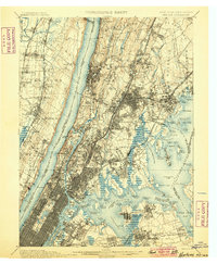
1900 edition
16.6 x 20.2 inches
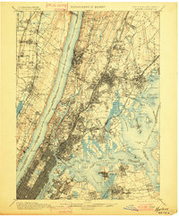
1901 edition
16.6 x 20.1 inches
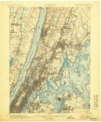
1905 edition
16.6 x 20.1 inches
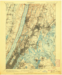
1907 edition
16.6 x 20.1 inches
1908 edition
16.6 x 20.1 inches
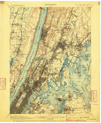
1910 edition
16.6 x 20.1 inches
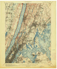
1913 edition
16.6 x 20.1 inches
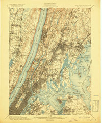
1919 edition
16.5 x 20.1 inches
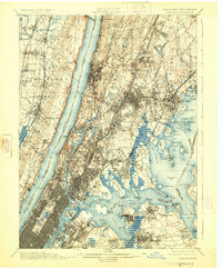
1925 edition
16.6 x 20.1 inches
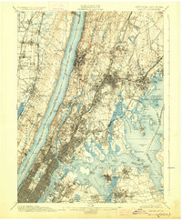
1928 edition
16.6 x 20.1 inches
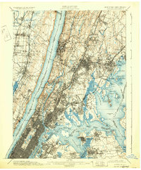
1931 edition
16.6 x 20.1 inches
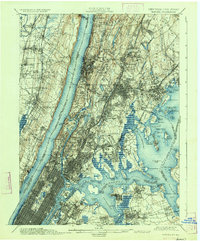
1934 edition
16.6 x 20 inches
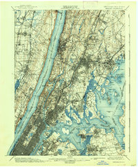
1938 edition
16.6 x 20.1 inches
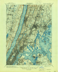
1944 edition
17 x 20.9 inches
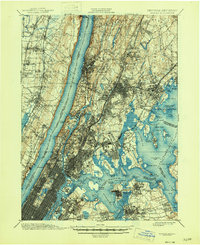
1946 edition
17 x 20.9 inches
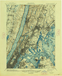
1948 edition
17 x 20.9 inches
Other maps of this area

1888 · Paterson
USGS Topo · 1:62,500

1889 · Brooklyn
USGS Topo · 1:62,500

1891 · Ramapo
USGS Topo · 1:62,500

1891 · Brooklyn
USGS Topo · 1:62,500

1891 · Harlem
USGS Topo · 1:62,500

1892 · Stamford
USGS Topo · 1:62,500

1892 · Paterson
USGS Topo · 1:62,500

1892 · Tarrytown
USGS Topo · 1:62,500

1893 · Stamford
USGS Topo · 1:62,500

1893 · Tarrytown
USGS Topo · 1:62,500