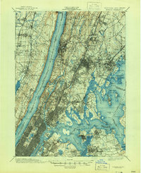
1900 Map of Harlem
USGS Topo · Published 1944About this map
Manhattan Borough and its surrounding waterways define this turn-of-the-century landscape, illustrating the intense development of the northern city and its burgeoning suburban neighbors. The map details the complex rail network of the era, including the West Shore RR and the New York New Haven and Hartford RR, which facilitated the expansion of settlements like Tenafly and Mount Vernon. The shoreline is heavily marked with distinct landings and points such as Old Ferry Point and Willets Point, reflecting a maritime-dependent economy before modern bridges dominated the crossing of the East River.
Find a feature on this map
170 named features on this map. Tap any name to fly to it.
Don’t see what you’re looking for? This feature index may not catch every label — zoom into the map to look around manually.
Map Details
Editions of this 1900 Harlem Map
16 editions found
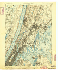
1900 edition
16.6 x 20.2 inches
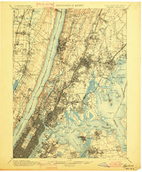
1901 edition
16.6 x 20.1 inches
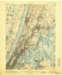
1905 edition
16.6 x 20.1 inches
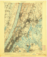
1907 edition
16.6 x 20.1 inches
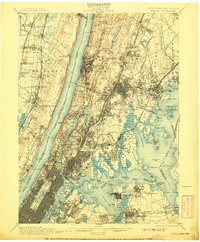
1908 edition
16.6 x 20.1 inches
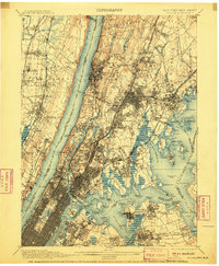
1910 edition
16.6 x 20.1 inches
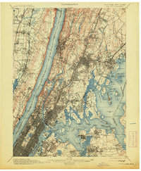
1913 edition
16.6 x 20.1 inches
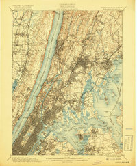
1919 edition
16.5 x 20.1 inches
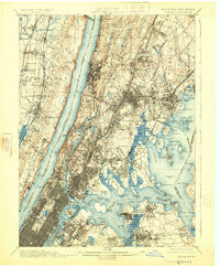
1925 edition
16.6 x 20.1 inches
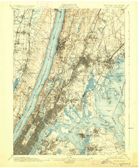
1928 edition
16.6 x 20.1 inches
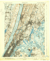
1931 edition
16.6 x 20.1 inches
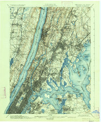
1934 edition
16.6 x 20 inches
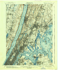
1938 edition
16.6 x 20.1 inches
1944 edition
17 x 20.9 inches
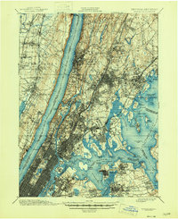
1946 edition
17 x 20.9 inches
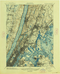
1948 edition
17 x 20.9 inches
Other maps of this area

1888 · Paterson
USGS Topo · 1:62,500

1889 · Brooklyn
USGS Topo · 1:62,500

1891 · Ramapo
USGS Topo · 1:62,500

1891 · Brooklyn
USGS Topo · 1:62,500

1891 · Harlem
USGS Topo · 1:62,500

1892 · Stamford
USGS Topo · 1:62,500

1892 · Paterson
USGS Topo · 1:62,500

1892 · Tarrytown
USGS Topo · 1:62,500

1893 · Stamford
USGS Topo · 1:62,500

1893 · Tarrytown
USGS Topo · 1:62,500