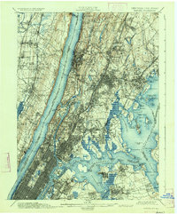
1900 Map of Harlem
USGS Topo · Published 1934About this map
Palisades tower over the west bank of the Hudson River, framing a dense late-nineteenth-century landscape of industrial waterways and expanding rail corridors. This survey details the complex geography of upper Manhattan and the western Bronx, where the Harlem River and Spuyten Duyvil Creek separate the boroughs. Large public tracts and institutions define the northern urban edge, including the sprawling Woodlawn Cemetery, Van Cortlandt Park, and the hilltop campus of Columbia University.
Find a feature on this map
155 named features on this map. Tap any name to fly to it.
Don’t see what you’re looking for? This feature index may not catch every label — zoom into the map to look around manually.
Map Details
Editions of this 1900 Harlem Map
16 editions found
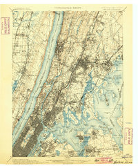
1900 edition
16.6 x 20.2 inches
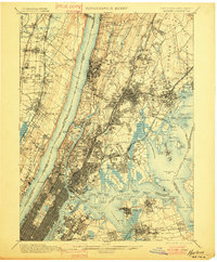
1901 edition
16.6 x 20.1 inches
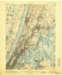
1905 edition
16.6 x 20.1 inches
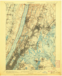
1907 edition
16.6 x 20.1 inches
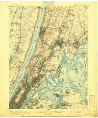
1908 edition
16.6 x 20.1 inches
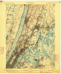
1910 edition
16.6 x 20.1 inches
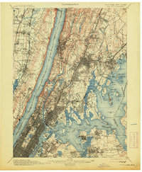
1913 edition
16.6 x 20.1 inches
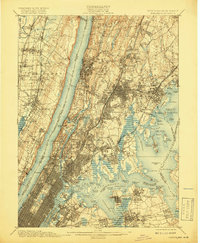
1919 edition
16.5 x 20.1 inches
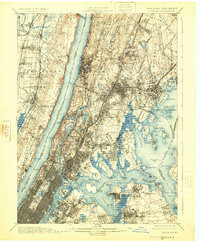
1925 edition
16.6 x 20.1 inches
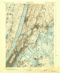
1928 edition
16.6 x 20.1 inches
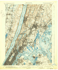
1931 edition
16.6 x 20.1 inches
1934 edition
16.6 x 20 inches
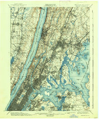
1938 edition
16.6 x 20.1 inches
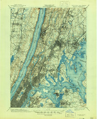
1944 edition
17 x 20.9 inches
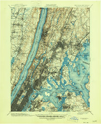
1946 edition
17 x 20.9 inches
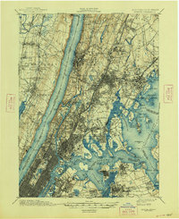
1948 edition
17 x 20.9 inches
Other maps of this area

1888 · Paterson
USGS Topo · 1:62,500

1889 · Brooklyn
USGS Topo · 1:62,500

1891 · Ramapo
USGS Topo · 1:62,500

1891 · Brooklyn
USGS Topo · 1:62,500

1891 · Harlem
USGS Topo · 1:62,500

1892 · Stamford
USGS Topo · 1:62,500

1892 · Paterson
USGS Topo · 1:62,500

1892 · Tarrytown
USGS Topo · 1:62,500

1893 · Stamford
USGS Topo · 1:62,500

1893 · Tarrytown
USGS Topo · 1:62,500