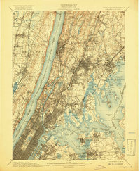
1900 Map of Harlem
USGS Topo · Published 1919About this map
Yonkers and the rising boroughs of New York City dominate this landscape at the close of the 19th century, showing a region in rapid transition between industrial waterfronts and suburban expansion. The intricate network of the New York Central & Hudson River R. R. and the Northern Railroad of New Jersey underscores the era's heavy reliance on rail to connect New Jersey and New York. On the Bronx side, the Jerome Park Reservoir and the expansive Woodlawn Cemetery stand as significant landmarks amidst developing neighborhoods like Wakefield and Williamsbridge. Along the jagged shoreline of Long Island Sound, maritime defenses and aids are prominent, including Fort Schuyler at Throgs Neck and the Steppingstone Light. The map captures the disparate character of the New Jersey Palisades contrasting with the dense street grids emerging in the Bronx Borough and northern Manhattan.
Find a feature on this map
134 named features on this map. Tap any name to fly to it.
Don’t see what you’re looking for? This feature index may not catch every label — zoom into the map to look around manually.
Map Details
Editions of this 1900 Harlem Map
16 editions found
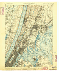
1900 edition
16.6 x 20.2 inches
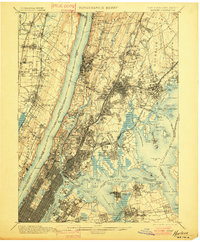
1901 edition
16.6 x 20.1 inches
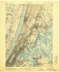
1905 edition
16.6 x 20.1 inches
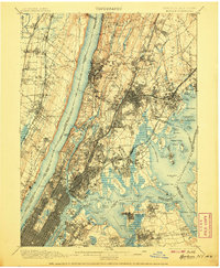
1907 edition
16.6 x 20.1 inches
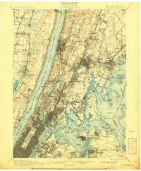
1908 edition
16.6 x 20.1 inches
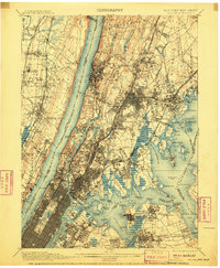
1910 edition
16.6 x 20.1 inches
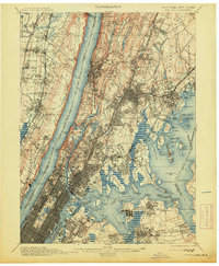
1913 edition
16.6 x 20.1 inches
1919 edition
16.5 x 20.1 inches
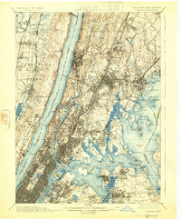
1925 edition
16.6 x 20.1 inches
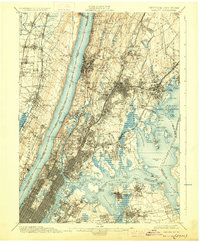
1928 edition
16.6 x 20.1 inches
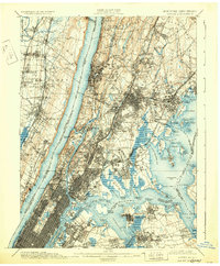
1931 edition
16.6 x 20.1 inches
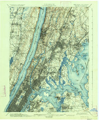
1934 edition
16.6 x 20 inches
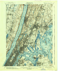
1938 edition
16.6 x 20.1 inches
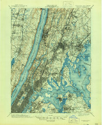
1944 edition
17 x 20.9 inches
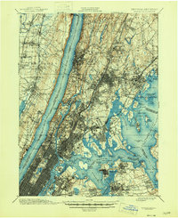
1946 edition
17 x 20.9 inches
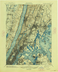
1948 edition
17 x 20.9 inches
Other maps of this area

1888 · Paterson
USGS Topo · 1:62,500

1889 · Brooklyn
USGS Topo · 1:62,500

1891 · Ramapo
USGS Topo · 1:62,500

1891 · Brooklyn
USGS Topo · 1:62,500

1891 · Harlem
USGS Topo · 1:62,500

1892 · Stamford
USGS Topo · 1:62,500

1892 · Paterson
USGS Topo · 1:62,500

1892 · Tarrytown
USGS Topo · 1:62,500

1893 · Stamford
USGS Topo · 1:62,500

1893 · Tarrytown
USGS Topo · 1:62,500