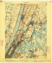
1900 Map of Harlem
USGS Topo · Published 1910About this map
Hudson River views and complex urban waterways define this turn-of-the-century perspective of northern Manhattan and the Bronx. The area is a dense network of major transport infrastructure, including the New York Central and Hudson River RR and the New York & Putnam RR, which serviced growing suburbs like Yonkers and Mount Vernon. The newly completed Ship Canal and the historic High Bridge illustrate the engineering efforts to connect the Harlem River with the Hudson. On the New Jersey side, the Palisades rise sharply above the river, shielding settlements like Alpine and Englewood. Massive public spaces such as Van Cortlandt Park, Bronx Park, and Woodlawn Cemetery stand as significant green corridors amidst the expanding grid. Further east, the map details the jagged coastline of Long Island Sound, where Fort Schuyler guards the approach to the East River near Throgs Neck.
Find a feature on this map
168 named features on this map. Tap any name to fly to it.
Don’t see what you’re looking for? This feature index may not catch every label — zoom into the map to look around manually.
Map Details
Editions of this 1900 Harlem Map
16 editions found
1900 edition
16.6 x 20.2 inches
1901 edition
16.6 x 20.1 inches
1905 edition
16.6 x 20.1 inches
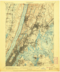
1907 edition
16.6 x 20.1 inches
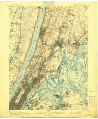
1908 edition
16.6 x 20.1 inches
1910 edition
16.6 x 20.1 inches
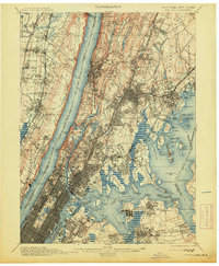
1913 edition
16.6 x 20.1 inches
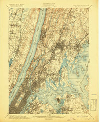
1919 edition
16.5 x 20.1 inches
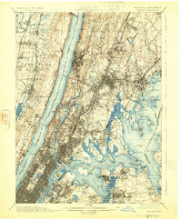
1925 edition
16.6 x 20.1 inches
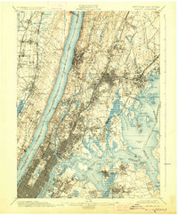
1928 edition
16.6 x 20.1 inches
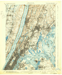
1931 edition
16.6 x 20.1 inches
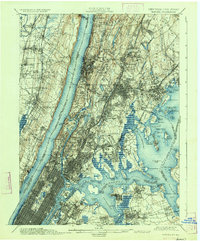
1934 edition
16.6 x 20 inches
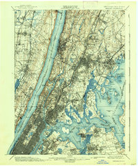
1938 edition
16.6 x 20.1 inches
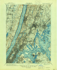
1944 edition
17 x 20.9 inches
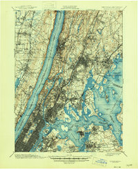
1946 edition
17 x 20.9 inches
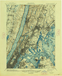
1948 edition
17 x 20.9 inches
Other maps of this area

1888 · Paterson
USGS Topo · 1:62,500

1889 · Brooklyn
USGS Topo · 1:62,500

1891 · Ramapo
USGS Topo · 1:62,500

1891 · Brooklyn
USGS Topo · 1:62,500

1891 · Harlem
USGS Topo · 1:62,500

1892 · Stamford
USGS Topo · 1:62,500

1892 · Paterson
USGS Topo · 1:62,500

1892 · Tarrytown
USGS Topo · 1:62,500

1893 · Stamford
USGS Topo · 1:62,500

1893 · Tarrytown
USGS Topo · 1:62,500