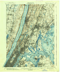
1900 Map of Harlem
USGS Topo · Published 1938About this map
The Hudson River and its towering Palisades define this late 19th-century landscape, revealing a period of intense expansion across the Bronx, Westchester, and northern New Jersey. The map documents a complex web of transportation, including the Northern Railroad of New Jersey and the New York Central and Hudson River Railroad (Harlem Division), which fueled the growth of commuter hubs like Yonkers and Mount Vernon. On the Bronx side, the newly established Grand Boulevard and Concourse cuts through the urbanizing terrain near Crotona Park. Large green spaces like Van Cortlandt Park and the expansive Woodlawn Cemetery are well-defined, while the coastline shows significant maritime activity around Pelham Bay and the narrows at Hell Gate. In the east, islands like City Island and Hart Island sit in the Long Island Sound, illustrating the region's diverse waterfront and the early suburbanization of New Rochelle and Pelham.
Find a feature on this map
160 named features on this map. Tap any name to fly to it.
Don’t see what you’re looking for? This feature index may not catch every label — zoom into the map to look around manually.
Map Details
Editions of this 1900 Harlem Map
16 editions found
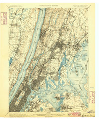
1900 edition
16.6 x 20.2 inches
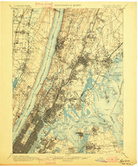
1901 edition
16.6 x 20.1 inches
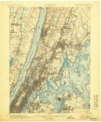
1905 edition
16.6 x 20.1 inches
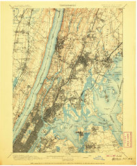
1907 edition
16.6 x 20.1 inches
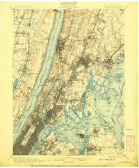
1908 edition
16.6 x 20.1 inches
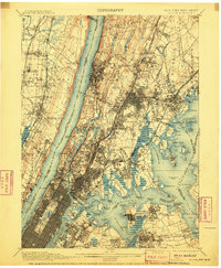
1910 edition
16.6 x 20.1 inches
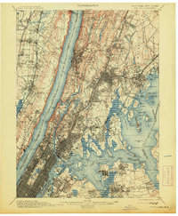
1913 edition
16.6 x 20.1 inches
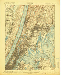
1919 edition
16.5 x 20.1 inches
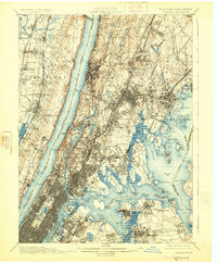
1925 edition
16.6 x 20.1 inches
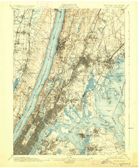
1928 edition
16.6 x 20.1 inches
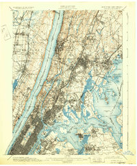
1931 edition
16.6 x 20.1 inches
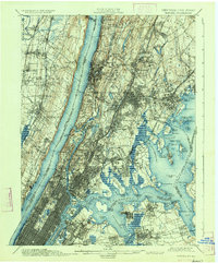
1934 edition
16.6 x 20 inches
1938 edition
16.6 x 20.1 inches
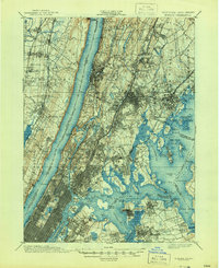
1944 edition
17 x 20.9 inches
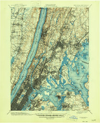
1946 edition
17 x 20.9 inches
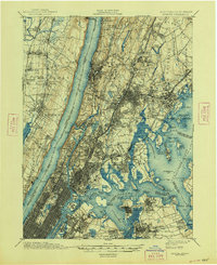
1948 edition
17 x 20.9 inches
Other maps of this area

1888 · Paterson
USGS Topo · 1:62,500

1889 · Brooklyn
USGS Topo · 1:62,500

1891 · Ramapo
USGS Topo · 1:62,500

1891 · Brooklyn
USGS Topo · 1:62,500

1891 · Harlem
USGS Topo · 1:62,500

1892 · Stamford
USGS Topo · 1:62,500

1892 · Paterson
USGS Topo · 1:62,500

1892 · Tarrytown
USGS Topo · 1:62,500

1893 · Stamford
USGS Topo · 1:62,500

1893 · Tarrytown
USGS Topo · 1:62,500