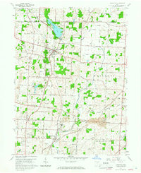
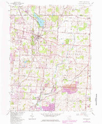
1960 Map of Hartville
USGS Topo · Published 1966About this map
Hartville sits at the intersection of early Ohio transportation and agriculture, characterized by a dense network of local roads such as Pontius Street and State Street. This 1960 field-checked survey reveals a landscape where rural community life centered on numerous houses of worship and cemeteries, including the St Jacobs Ch and Maple Grove Ch Cem. The presence of the New York Central and Wheeling and Lake Erie railroads underscores the importance of rail transit for local industry, while the Millburn Landing Strip suggests the evolution of regional travel. To the north, Congress Lake serves as a prominent geographic anchor near the Portage and Stark County boundary. The map captures the area before significant suburban expansion, preserving the locations of rural schoolhouses like Walnut Grove Sch and local landmarks like Hoover Park.
Find a feature on this map
65 named features on this map. Tap any name to fly to it.
Don’t see what you’re looking for? This feature index may not catch every label — zoom into the map to look around manually.
Map Details
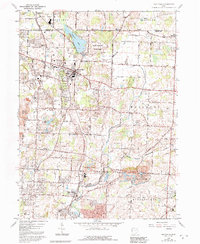
Editions of this 1960 Hartville Map
6 editions found
Other maps of this area

1901 · Canton
USGS Topo · 1:62,500

1903 · Canton
USGS Topo · 1:62,500

1906 · Kent
USGS Topo · 1:62,500

1906 · Ravenna
USGS Topo · 1:62,500

1908 · Ravenna
USGS Topo · 1:62,500

1909 · Alliance
USGS Topo · 1:62,500

1950 · Cleveland
USGS Topo · 1:250,000

1951 · Canton
USGS Topo · 1:250,000

1953 · Canton
USGS Topo · 1:250,000

1956 · Cleveland
USGS Topo · 1:250,000