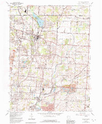
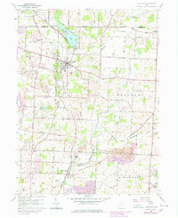
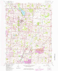
1960 Map of Hartville
USGS Topo · Published 1992About this map
Hartville serves as the central hub of this northern Stark County landscape, where the Wheeling and Lake Erie railroad tracks cut through a mix of established residential blocks and surrounding farmstead acreage. The area is defined by a dense network of country roads like Pontius Street and State Street, connecting smaller settlements including Mishler, Cairo, and Middlebranch. To the north, Congress Lake and the adjacent Quail Hollow State Park provide a distinct natural contrast to the industrial activities visible in several locations marked as Reclaimed Strip Mine.
Find a feature on this map
57 named features on this map. Tap any name to fly to it.
Don’t see what you’re looking for? This feature index may not catch every label — zoom into the map to look around manually.
Map Details
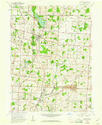
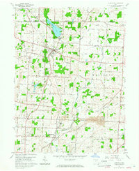
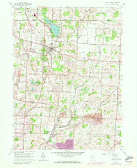
Editions of this 1960 Hartville Map
6 editions found
Other maps of this area

1901 · Canton
USGS Topo · 1:62,500

1903 · Canton
USGS Topo · 1:62,500

1906 · Kent
USGS Topo · 1:62,500

1906 · Ravenna
USGS Topo · 1:62,500

1908 · Ravenna
USGS Topo · 1:62,500

1909 · Alliance
USGS Topo · 1:62,500

1950 · Cleveland
USGS Topo · 1:250,000

1951 · Canton
USGS Topo · 1:250,000

1953 · Canton
USGS Topo · 1:250,000

1956 · Cleveland
USGS Topo · 1:250,000