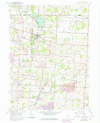
1960 Map of Hartville
USGS Topo · Published 1978About this map
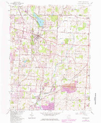
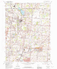
Congress Lake dominates the northern landscape of this Stark County region, where the Norfolk and Western railway links the bustling village of Hartville to smaller rural centers. This 1960s-era topographic study, updated through the late 1970s, reveals a countryside defined by deep-rooted family landmarks and agricultural industry. Cultural life is anchored by numerous country houses of worship including Beechy Ch, East Nimishillen Ch, and Werner Ch, alongside local cemeteries such as Oak Grove Cem and Machamer Cem.
Find a feature on this map
67 named features on this map. Tap any name to fly to it.
Don’t see what you’re looking for? This feature index may not catch every label — zoom into the map to look around manually.
Map Details
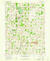
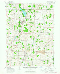
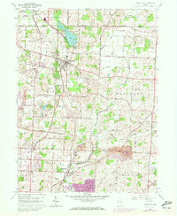
Editions of this 1960 Hartville Map
6 editions found
Other maps of this area

1901 · Canton
USGS Topo · 1:62,500

1903 · Canton
USGS Topo · 1:62,500

1906 · Kent
USGS Topo · 1:62,500

1906 · Ravenna
USGS Topo · 1:62,500

1908 · Ravenna
USGS Topo · 1:62,500

1909 · Alliance
USGS Topo · 1:62,500

1950 · Cleveland
USGS Topo · 1:250,000

1951 · Canton
USGS Topo · 1:250,000

1953 · Canton
USGS Topo · 1:250,000

1956 · Cleveland
USGS Topo · 1:250,000