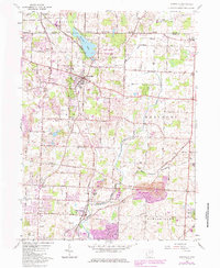
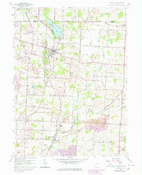
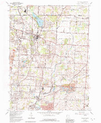
1960 Map of Hartville
USGS Topo · Published 1985About this map
The rolling agricultural and suburban landscape of northern Stark County is anchored by Hartville, where the intersection of local history and modern development is visible in the network of family-named cemeteries and rural churches. To the north, Quail Hollow State Park and the private waters of Congress Lake define the terrain, while the Norfolk and Western railroad corridor serves as a spine connecting the smaller settlements of Mishler and Middlebranch.
Find a feature on this map
63 named features on this map. Tap any name to fly to it.
Don’t see what you’re looking for? This feature index may not catch every label — zoom into the map to look around manually.
Map Details
Editions of this 1960 Hartville Map
6 editions found
Other maps of this area

1901 · Canton
USGS Topo · 1:62,500

1903 · Canton
USGS Topo · 1:62,500

1906 · Kent
USGS Topo · 1:62,500

1906 · Ravenna
USGS Topo · 1:62,500

1908 · Ravenna
USGS Topo · 1:62,500

1909 · Alliance
USGS Topo · 1:62,500

1950 · Cleveland
USGS Topo · 1:250,000

1951 · Canton
USGS Topo · 1:250,000

1953 · Canton
USGS Topo · 1:250,000

1956 · Cleveland
USGS Topo · 1:250,000