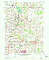
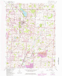
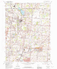
1960 Map of Hartville
USGS Topo · Published 1972About this map
The boundary between Portage Co and Stark Co cuts across the northern landscape of this 1960 survey, revised in 1971 to show growing urban extensions in purple. Central to the area is Hartville, a community established at the intersection of local commerce and the Norfolk and Western rail line. The map highlights a transition from the agricultural heartland of Lake and Marlboro townships to the expanding outskirts of Cairo and Middlebranch.
Find a feature on this map
56 named features on this map. Tap any name to fly to it.
Don’t see what you’re looking for? This feature index may not catch every label — zoom into the map to look around manually.
Map Details
Editions of this 1960 Hartville Map
6 editions found
Other maps of this area

1901 · Canton
USGS Topo · 1:62,500

1903 · Canton
USGS Topo · 1:62,500

1906 · Kent
USGS Topo · 1:62,500

1906 · Ravenna
USGS Topo · 1:62,500

1908 · Ravenna
USGS Topo · 1:62,500

1909 · Alliance
USGS Topo · 1:62,500

1950 · Cleveland
USGS Topo · 1:250,000

1951 · Canton
USGS Topo · 1:250,000

1953 · Canton
USGS Topo · 1:250,000

1956 · Cleveland
USGS Topo · 1:250,000