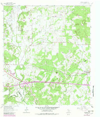
1964 Map of Harwood
USGS Topo · Published 1982About this map
The Southern Pacific railroad corridor anchors this Central Texas landscape, following a path just north of the San Marcos River. Small rural hubs such as Harwood and McNeil reflect the era's rail-dependent settlement patterns, while Soda Springs lies tucked away near the northwestern corner of the sheet. The terrain is marked by a network of drainage systems, including McNeil Creek, Plum Creek, and Mule Creek, which flow through the rolling countryside toward the river.
Find a feature on this map
26 named features on this map. Tap any name to fly to it.
Don’t see what you’re looking for? This feature index may not catch every label — zoom into the map to look around manually.
Map Details
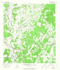
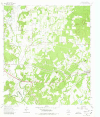
Editions of this 1964 Harwood Map
3 editions found
Other maps of this area

1901 · Flatonia
USGS Topo · 1:125,000

1911 · San Marcos
USGS Topo · 1:125,000

1919 · San Marcos
USGS Topo · 1:125,000

1925 · San Marcos 4-c
USGS Topo · 1:48,000

1925 · San Marcos 1-d
USGS Topo · 1:48,000

1925 · San Marcos 4-a
USGS Topo · 1:48,000

1929 · Luling
USGS Topo · 1:62,500

1930 · Lockhart
USGS Topo · 1:62,500

1953 · Seguin
USGS Topo · 1:250,000

1958 · Seguin
USGS Topo · 1:250,000