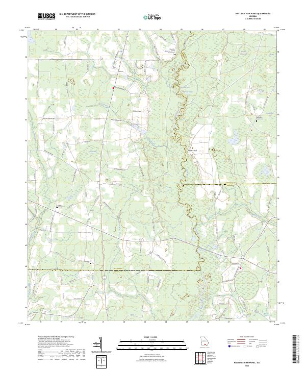
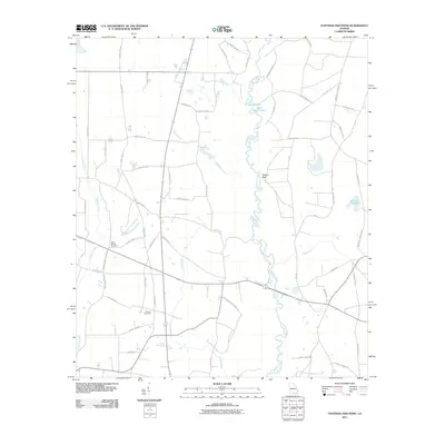
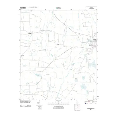
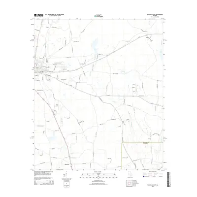
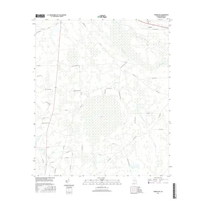
2024 Map of Hastings Fish Pond
USGS Topo · Published 2024About this map
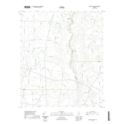
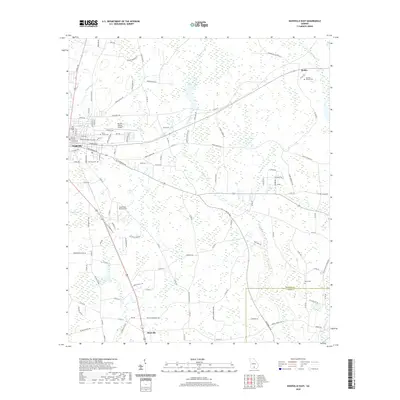
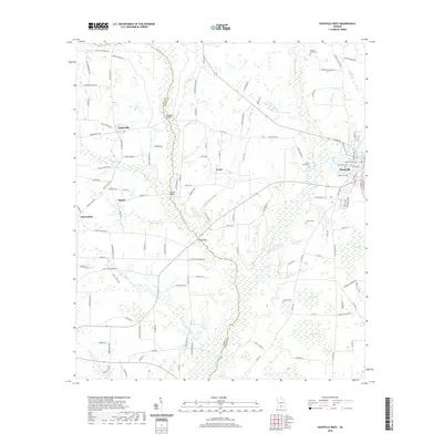
The Alapaha River meanders through this South Georgia landscape, defining the boundary between Atkinson and Berrien counties. The river valley is flanked by distinctive geological depressions and wetlands common to the coastal plain, including Meeting House Bay, Featherbed Bay, and Phoeba-Bay. These low-lying features, along with Round Lake and Half Moon Lake, suggest a terrain shaped by gradual hydrological shifts and seasonal ponding.
Find a feature on this map
96 named features on this map. Tap any name to fly to it.
Don’t see what you’re looking for? This feature index may not catch every label — zoom into the map to look around manually.
Map Details
Editions of this 2024 Hastings Fish Pond Map
This is the sole edition of this map. No revisions or reprints were ever made.
Historical Maps of Atkinson County Through Time
30 maps found
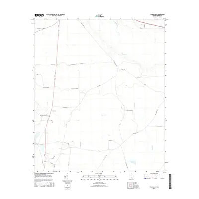
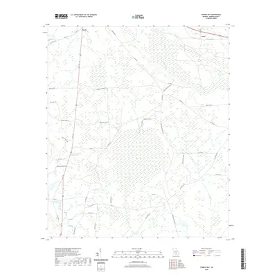
1972 Tenmile Bay
Berrien County, GA
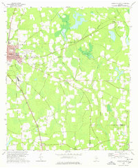
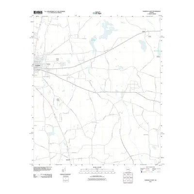
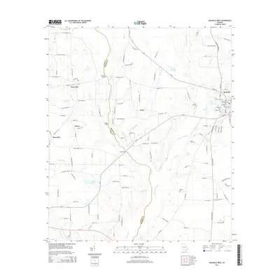
1973 Nashville West
Berrien County, GA
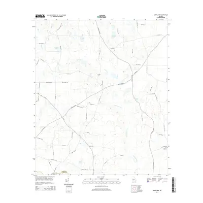
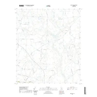
1973 Sapps Lake
Berrien County, GA
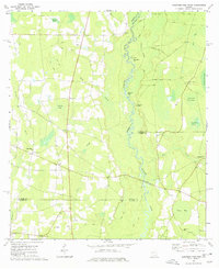
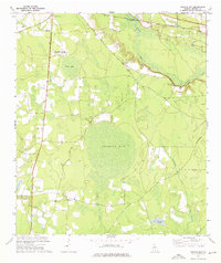
1977 Hastings Fish Pond
Berrien County, GA
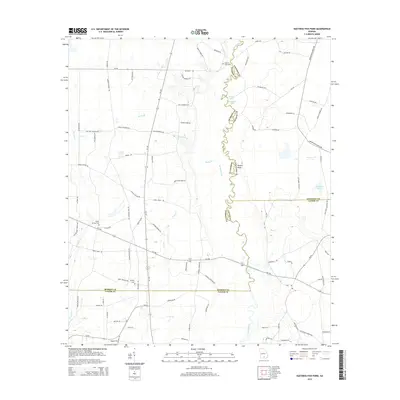
1978 Nashville East
Berrien County, GA
2011 Hastings Fish Pond
Berrien County, GA
2011 Nashville East
Berrien County, GA
2011 Nashville West
Berrien County, GA
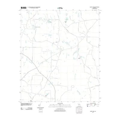
2011 Sapps Lake
Berrien County, GA
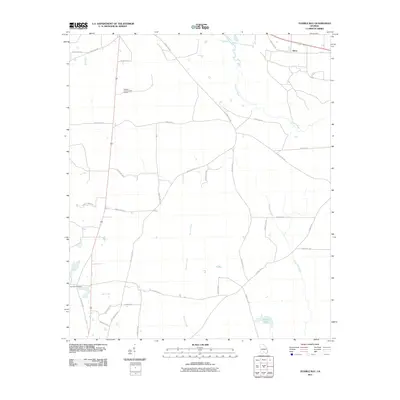
2011 Tenmile Bay
Berrien County, GA
2014 Hastings Fish Pond
Berrien County, GA
2014 Nashville East
Berrien County, GA
2014 Nashville West
Berrien County, GA
2014 Sapps Lake
Berrien County, GA
2014 Tenmile Bay
Berrien County, GA
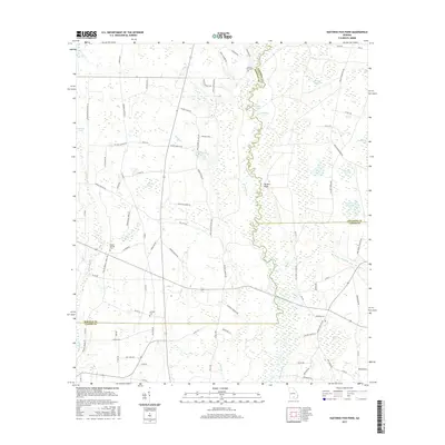
2017 Hastings Fish Pond
Berrien County, GA
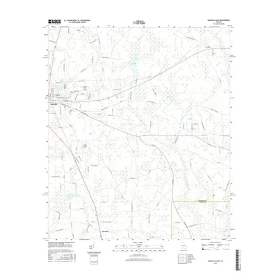
2017 Nashville East
Berrien County, GA
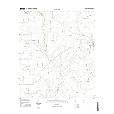
2017 Nashville West
Berrien County, GA
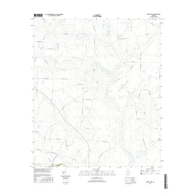
2017 Sapps Lake
Berrien County, GA
2017 Tenmile Bay
Berrien County, GA
2020 Hastings Fish Pond
Berrien County, GA
2020 Nashville East
Berrien County, GA
2020 Nashville West
Berrien County, GA
2020 Sapps Lake
Berrien County, GA
2020 Tenmile Bay
Berrien County, GA
2024 Hastings Fish Pond
Berrien County, GA
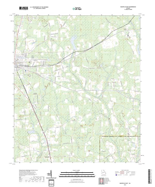
2024 Nashville East
Berrien County, GA
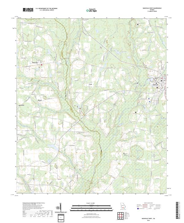
2024 Nashville West
Berrien County, GA
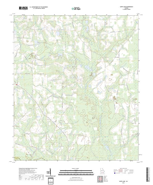
2024 Sapps Lake
Berrien County, GA
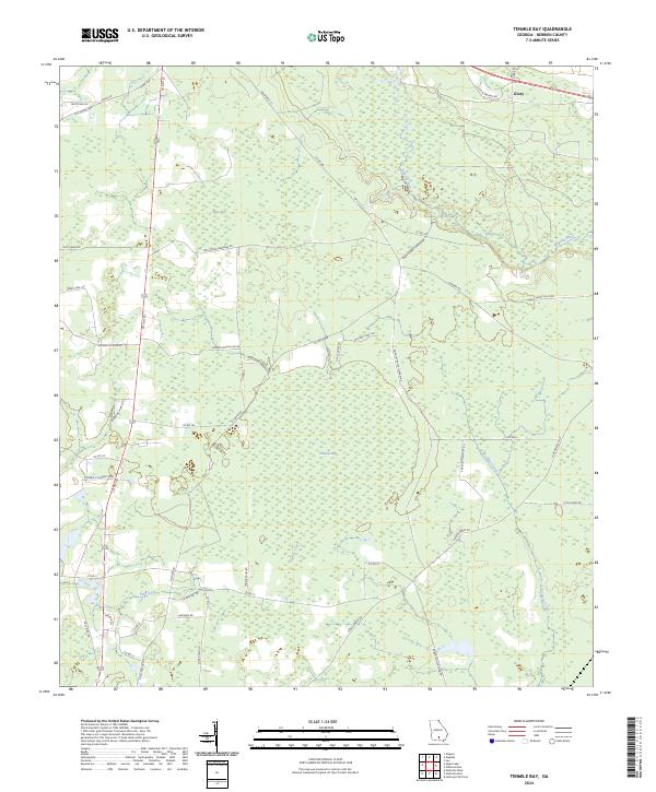
2024 Tenmile Bay
Berrien County, GA