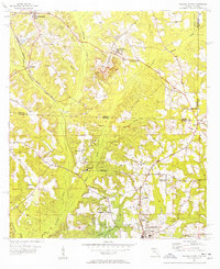
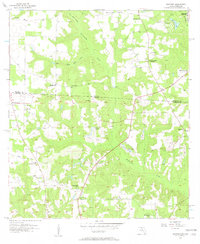
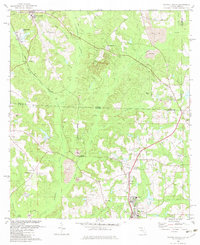
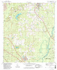
1956 Map of Havana North
USGS Topo · Published 1957This historical map portrays the area of Havana North in 1956, primarily covering Gadsden County as well as portions of Georgia. Featuring a scale of 1:24000, this map provides a highly detailed snapshot of the terrain, roads, buildings, counties, and historical landmarks in the Havana North region at the time. Published in 1957, it is one of 2 known editions of this map due to revisions or reprints.
Find a feature on this map
39 named features on this map. Tap any name to fly to it.
Don’t see what you’re looking for? This feature index may not catch every label — zoom into the map to look around manually.
Map Details
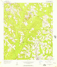
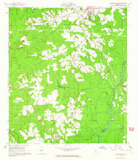
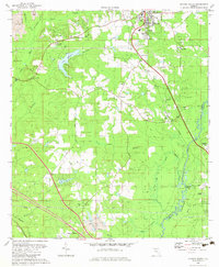
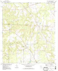
Editions of this 1956 Havana North Map
2 editions found
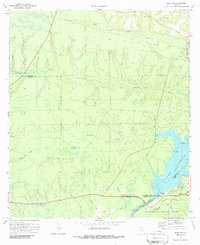
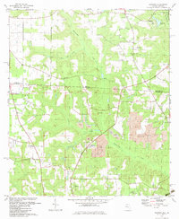
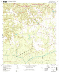
Historical Maps of Amsterdam Through Time
14 maps found
1955 Mt Pleasant
Gadsden County, FL
1955 Sycamore
Gadsden County, FL
1956 Dogtown
Gadsden County, FL
1956 Havana North
Gadsden County, FL
1963 Havana South
Gadsden County, FL
1972 Bloxham
Gadsden County, FL
1982 Dogtown
Gadsden County, FL
1982 Havana North
Gadsden County, FL
1982 Havana South
Gadsden County, FL
1982 Mt Pleasant
Gadsden County, FL
1982 Sycamore
Gadsden County, FL
1994 Havana South
Gadsden County, FL
1994 Mt Pleasant
Gadsden County, FL
1994 Sycamore
Gadsden County, FL