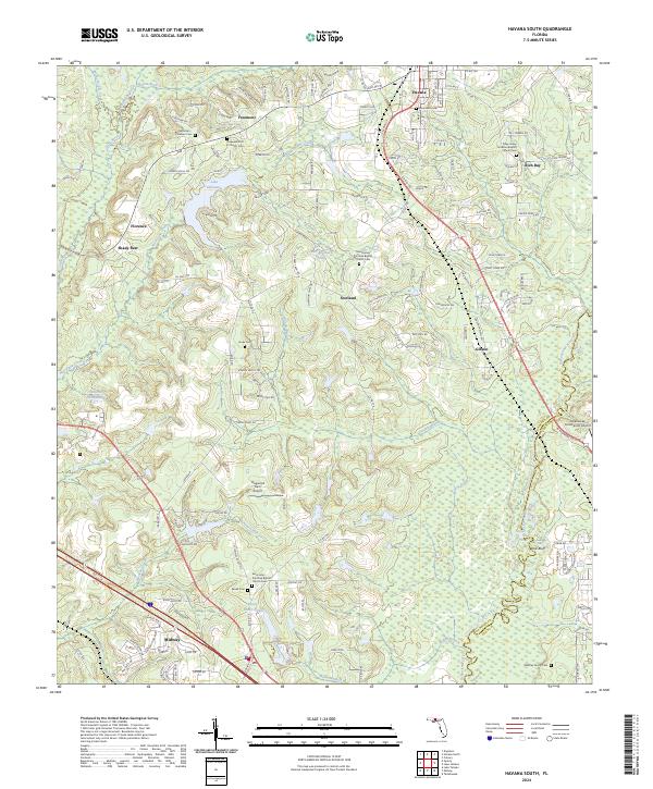
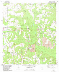
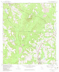
2024 Map of Havana South
USGS Topo · Published 2024About this map
Havana and Midway anchor the northern and southern reaches of this Gadsden County landscape, where the terrain transitions from agricultural uplands to the wetland systems of the Ocklockonee River. The area is notably dense with historical religious and burial sites, including the Hopewell A M E Church-Cem and Saint James Primitive Baptist Church Cem, which serve as vital markers for genealogical research in this part of Florida.
Find a feature on this map
131 named features on this map. Tap any name to fly to it.
Don’t see what you’re looking for? This feature index may not catch every label — zoom into the map to look around manually.
Map Details
Editions of this 2024 Havana South Map
This is the sole edition of this map. No revisions or reprints were ever made.
Historical Maps of Freemont Through Time
20 maps found
1955 Mt Pleasant
Gadsden County, FL
1955 Sycamore
Gadsden County, FL
1956 Dogtown
Gadsden County, FL
1956 Havana North
Gadsden County, FL
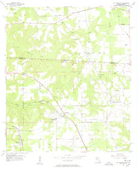
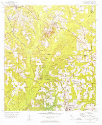
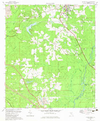
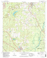
1963 Havana South
Gadsden County, FL
1972 Bloxham
Gadsden County, FL
1982 Dogtown
Gadsden County, FL
1982 Havana North
Gadsden County, FL
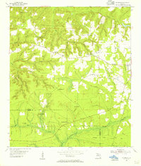
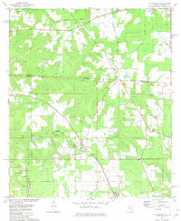
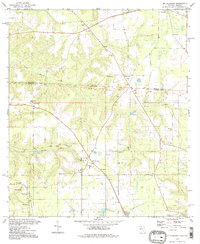
1982 Havana South
Gadsden County, FL
1982 Mt Pleasant
Gadsden County, FL
1982 Sycamore
Gadsden County, FL
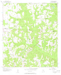
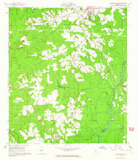
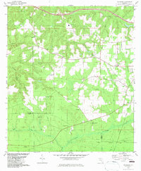
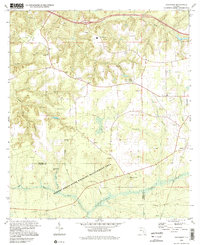
1994 Havana South
Gadsden County, FL
1994 Mt Pleasant
Gadsden County, FL
1994 Sycamore
Gadsden County, FL
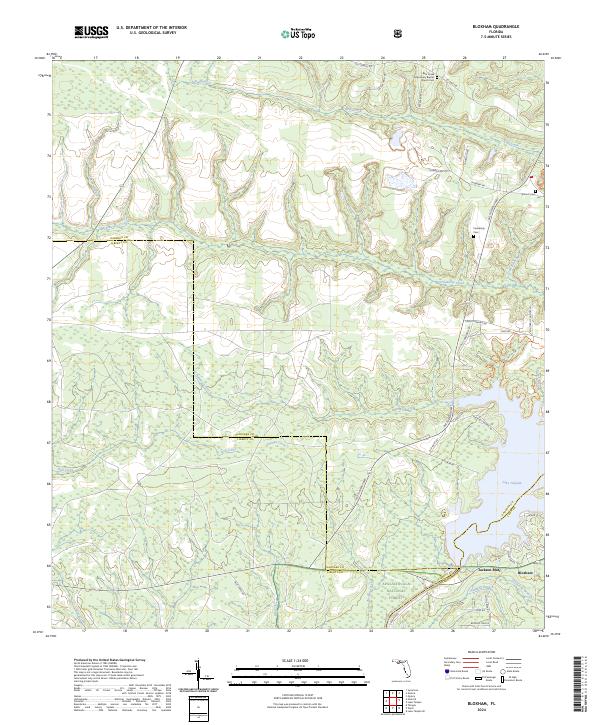
2024 Bloxham
Gadsden County, FL
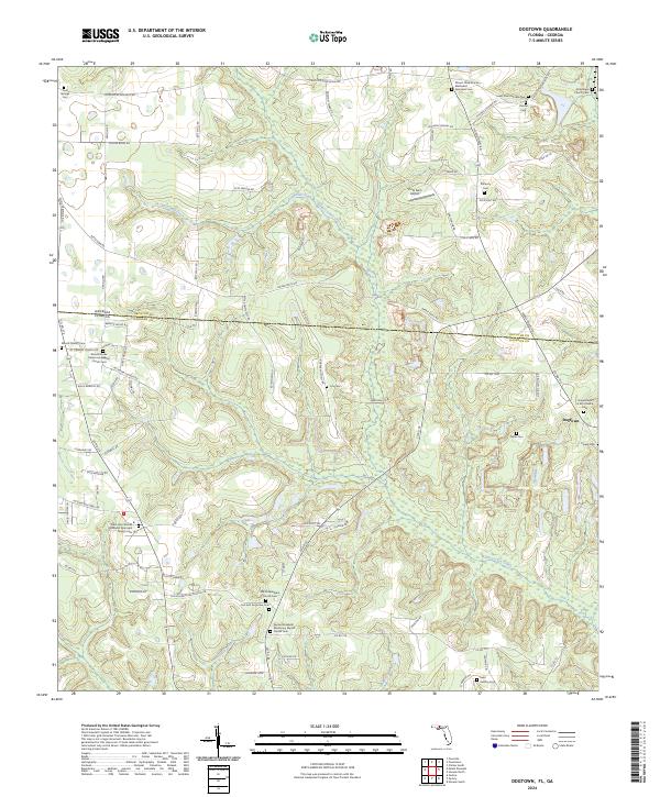
2024 Dogtown
Gadsden County, FL
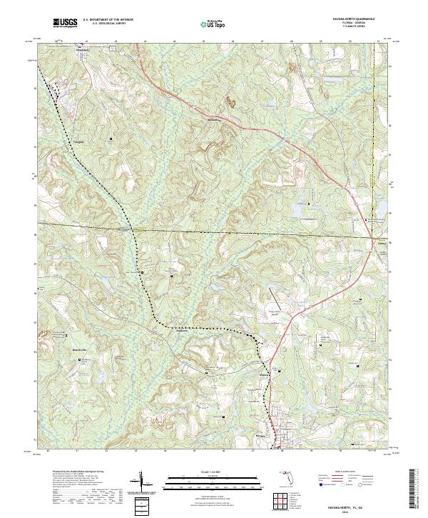
2024 Havana North
Gadsden County, FL
2024 Havana South
Gadsden County, FL
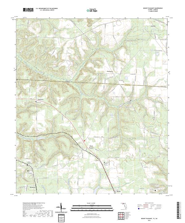
2024 Mount Pleasant
Gadsden County, FL
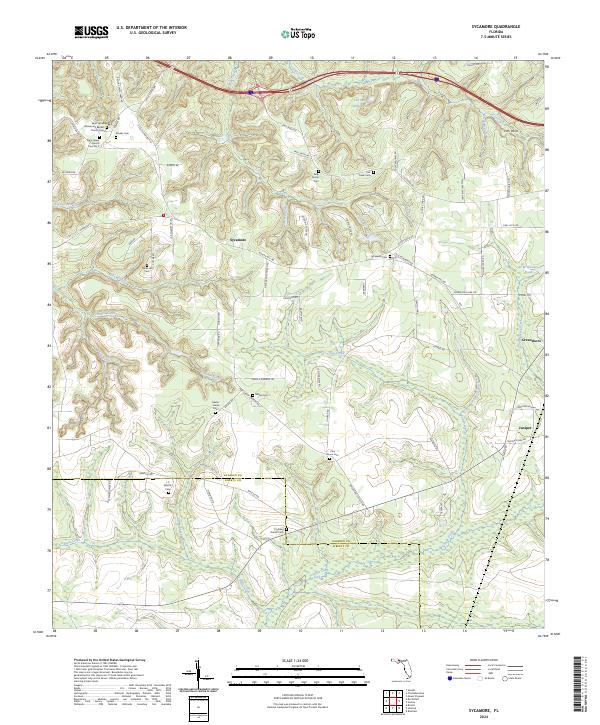
2024 Sycamore
Gadsden County, FL