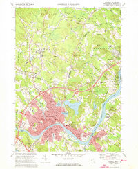
1972 Map of Haverhill
USGS Topo · Published 1973About this map
The Merrimack River serves as the industrial and geographic anchor of this landscape, winding past the urban core of Haverhill and the neighboring hills of Bradford. In the early 1970s, the area reflects a transition from its manufacturing roots to a regional educational and residential hub, evidenced by the presence of Northern Essex Community College and the Whittier Regional High Sch. The map detail shows the dense residential grids of the city giving way to the expansive recreation lands around Kenoza Lake and Winnekenni Park.
Find a feature on this map
98 named features on this map. Tap any name to fly to it.
Don’t see what you’re looking for? This feature index may not catch every label — zoom into the map to look around manually.
Map Details
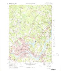
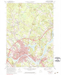
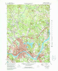
Editions of this 1972 Haverhill Map
4 editions found
Other maps of this area

1886 · Lawrence
USGS Topo · 1:62,500

1888 · Newburyport
USGS Topo · 1:62,500

1888 · Haverhill
USGS Topo · 1:62,500

1888 · Lawrence
USGS Topo · 1:62,500

1888 · Salem
USGS Topo · 1:62,500

1890 · Haverhill
USGS Topo · 1:62,500

1890 · Newburyport
USGS Topo · 1:62,500

1893 · Salem
USGS Topo · 1:62,500

1893 · Lawrence
USGS Topo · 1:62,500

1893 · Haverhill
USGS Topo · 1:62,500