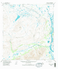
1951 Map of Healy A-2
USGS Topo · Published 1976About this map
The Susitna River carves a massive glacial corridor through the eastern edge of this landscape, its braided channels and gravel bars defining the drainage pattern for the entire Healy A-2 region. Mapping based on 1949 photography captures the interior wilderness shortly before the completion of the Denali Highway, which traces a high route across the northern portion of the sheet. This alpine terrain is dominated by a complex network of waterways, including Monahan Creek and Wickersham Creek, which feed into the primary river system.
Find a feature on this map
11 named features on this map. Tap any name to fly to it.
Don’t see what you’re looking for? This feature index may not catch every label — zoom into the map to look around manually.
Map Details
Editions of this 1951 Healy A-2 Map
3 editions found

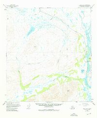
Other maps of this area

1949 · Healy B-2
USGS Topo · 1:63,360

1949 · Healy A-1
USGS Topo · 1:63,360

1950 · Talkeetna Mountains
USGS Topo · 1:250,000

1950 · Healy A-3
USGS Topo · 1:63,360

1950 · Healy B-3
USGS Topo · 1:63,360

1950 · Healy B-1
USGS Topo · 1:63,360

1951 · Healy
USGS Topo · 1:250,000

1951 · Talkeetna Mountains D-2
USGS Topo · 1:63,360

1951 · Talkeetna Mountains D-1
USGS Topo · 1:63,360

1951 · Talkeetna Mountains D-3
USGS Topo · 1:63,360