
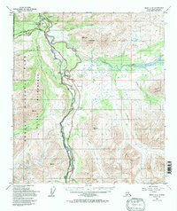
1950 Map of Healy C-4
USGS Topo · Published 1963About this map
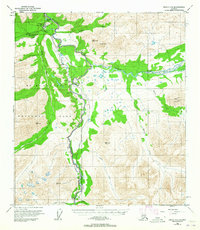
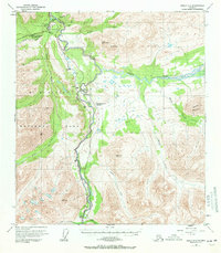
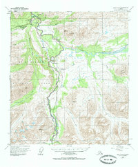
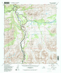
MT Mckinley National Park dominates the western half of this Alaska interior landscape, providing a detailed view of the Mt McKinley National Park Headquarters and the early infrastructure of the park during the 1950s. The Alaska Railroad and Denali Highway parallel the winding course of the Nenana River, serving as the primary transportation corridor for this subarctic region. Small settlements and sidings like McKinley Park, Yanert, and Carlo are established along these transit lines, while the confluence of the Yanert Fork creates a complex network of braided river channels and lagoons.
Find a feature on this map
28 named features on this map. Tap any name to fly to it.
Don’t see what you’re looking for? This feature index may not catch every label — zoom into the map to look around manually.
Map Details
Editions of this 1950 Healy C-4 Map
6 editions found
Other maps of this area

1949 · Healy B-4
USGS Topo · 1:63,360

1949 · Healy C-3
USGS Topo · 1:63,360

1950 · Healy D-4
USGS Topo · 1:63,360

1950 · Healy B-3
USGS Topo · 1:63,360

1950 · Healy D-3
USGS Topo · 1:63,360

1950 · Healy B-5
USGS Topo · 1:63,360

1951 · Healy
USGS Topo · 1:250,000

1951 · Healy B-5
USGS Topo · 1:63,360

1951 · Healy B-4
USGS Topo · 1:63,360

1951 · Healy D-5
USGS Topo · 1:63,360