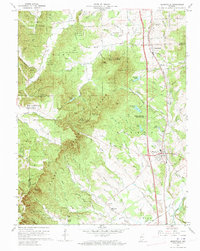
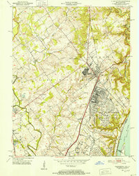
1960 Map of Henryville
USGS Topo · Published 1961About this map
Clark State Forest dominates this section of southern Indiana, where the terrain breaks into the distinctive knobs of Clark and Scott counties. The Pennsylvania railroad line serves as a central artery for the eastern settlements, connecting Underwood and Henryville. Near the northern boundary, the Pigeon Roost Memorial commemorates a significant site of local frontier history.
Find a feature on this map
104 named features on this map. Tap any name to fly to it.
Don’t see what you’re looking for? This feature index may not catch every label — zoom into the map to look around manually.
Map Details
Editions of this 1960 Henryville Map
4 editions found
Other maps of this area

1905 · Prospect
USGS Topo · 1:62,500

1912 · Prospect
USGS Topo · 1:62,500

1937 · Charlestown
USGS Topo · 1:24,000

1938 · Speed
USGS Topo · 1:24,000

1941 · Borden
USGS Topo · 1:24,000

1947 · Speed
USGS Topo · 1:24,000

1947 · Scottsburg
USGS Topo · 1:24,000

1949 · Henryville
USGS Topo · 1:24,000
1950 · Charlestown
USGS Topo · 1:24,000

1955 · South Boston
USGS Topo · 1:24,000