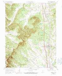
1960 Map of Henryville
USGS Topo · Published 1990About this map
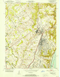
The sprawling woodlands of Clark State Forest dominate this landscape during the mid-twentieth century, showcasing a transition between protected natural areas and established Southern Indiana communities. The town of Henryville sits as a primary hub along the eastern edge of the forest, anchored by the Pennsylvania Railroad and surrounded by a dense network of creek systems including Miller Fork and Silver Creek. The map documents a significant research and educational presence at the Purdue University Forestry Camp, while numerous knobs like Oak Knob and Pine Knob define the area's elevation changes.
Find a feature on this map
71 named features on this map. Tap any name to fly to it.
Don’t see what you’re looking for? This feature index may not catch every label — zoom into the map to look around manually.
Map Details
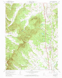
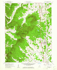
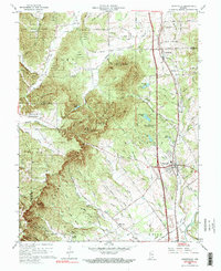
Editions of this 1960 Henryville Map
4 editions found
Other maps of this area

1905 · Prospect
USGS Topo · 1:62,500

1912 · Prospect
USGS Topo · 1:62,500

1937 · Charlestown
USGS Topo · 1:24,000

1938 · Speed
USGS Topo · 1:24,000

1941 · Borden
USGS Topo · 1:24,000

1947 · Speed
USGS Topo · 1:24,000

1947 · Scottsburg
USGS Topo · 1:24,000

1949 · Henryville
USGS Topo · 1:24,000
1950 · Charlestown
USGS Topo · 1:24,000

1955 · South Boston
USGS Topo · 1:24,000