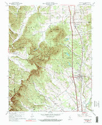
1960 Map of Henryville
USGS Topo · Published 1990About this map
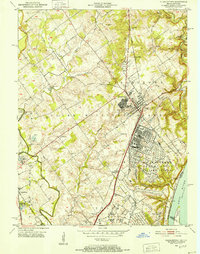
Clark State Forest dominates this section of southern Indiana, where the rugged topography of the Bowery Knobs and several named peaks like Fairview Knob and Oak Knob define the drainage patterns of the region. The map reveals a transition between the elevated timberlands and the agricultural valleys, with the Pennsylvania Railroad and Interstate 65 providing a major north-south corridor through Henryville and Underwood. A notable point of historical interest is the Pigeon Roost Memorial, commemorating a frontier conflict, situated near the headwaters of Pigeon Roost Creek. The landscape is dotted with rural landmarks essential for genealogical research, including the Purdue University Forestry Camp, Blue Lick Ch, and the remote Mountain Grove Ch located deep within the forest hills near the boundary of Washington and Clark Counties.
Find a feature on this map
91 named features on this map. Tap any name to fly to it.
Don’t see what you’re looking for? This feature index may not catch every label — zoom into the map to look around manually.
Map Details
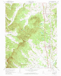
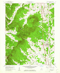
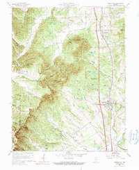
Editions of this 1960 Henryville Map
4 editions found
Other maps of this area

1905 · Prospect
USGS Topo · 1:62,500

1912 · Prospect
USGS Topo · 1:62,500

1937 · Charlestown
USGS Topo · 1:24,000

1938 · Speed
USGS Topo · 1:24,000

1941 · Borden
USGS Topo · 1:24,000

1947 · Speed
USGS Topo · 1:24,000

1947 · Scottsburg
USGS Topo · 1:24,000

1949 · Henryville
USGS Topo · 1:24,000
1950 · Charlestown
USGS Topo · 1:24,000

1955 · South Boston
USGS Topo · 1:24,000