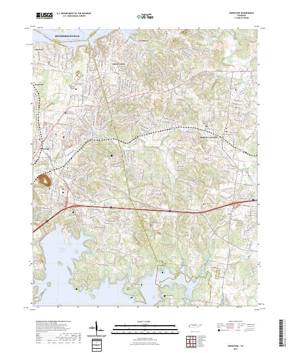
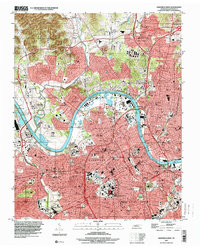
2022 Map of Hermitage
USGS Topo · Published 2022About this map
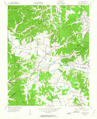
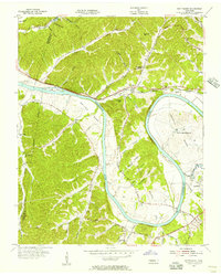
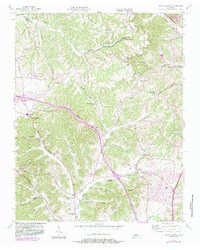
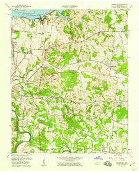
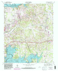
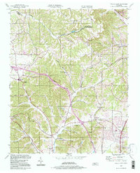
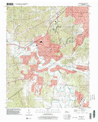
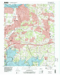
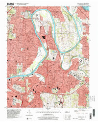
J Percy Priest Reservoir and the Cumberland River dominate this Davidson and Wilson County landscape, framing a region defined by its suburban evolution and historical sites. The area around Hermitage and Mount Juliet is marked by a high density of small family and memorial burial grounds, including the Confederate Memorial Cem, John G Gleaves Cem, and Sperry Cem. These sites, often tucked away near modern developments like Green Hill or along Stoners Cr, offer specific points of interest for genealogists tracing local families. The map details the transition from the riverfront terrain near Hendersonville and Lakewood to the recreational hubs of Nashville Shores and Lincoln Bay. Roads such as Lebanon Rd and Andrew Jackson Pkwy connect these growing communities while preserving the names of early landholders through landmarks like Cowgill Cem and Fuqua Cem.
Find a feature on this map
276 named features on this map. Tap any name to fly to it.
Don’t see what you’re looking for? This feature index may not catch every label — zoom into the map to look around manually.
Map Details
Editions of this 2022 Hermitage Map
This is the sole edition of this map. No revisions or reprints were ever made.
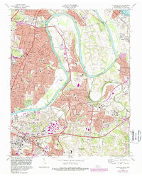
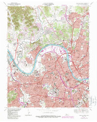
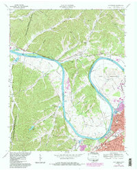
Historical Maps of Nashville Through Time
30 maps found
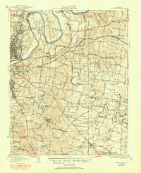
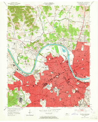
1932 Hermitage
Davidson County, TN
1952 Antioch
Davidson County, TN

1952 Hermitage
Davidson County, TN
1952 Nashville East
Davidson County, TN
1952 Nashville West
Davidson County, TN
1955 Belleview
Davidson County, TN
1955 Scottsboro
Davidson County, TN
1955 Whites Creek
Davidson County, TN
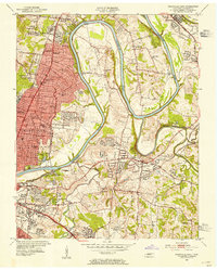
1957 Hermitage
Davidson County, TN
1957 Nashville East
Davidson County, TN
1968 Antioch
Davidson County, TN
1968 Bellevue
Davidson County, TN
1968 Hermitage
Davidson County, TN
1968 Nashville East
Davidson County, TN
1968 Nashville West
Davidson County, TN
1968 Scottsboro
Davidson County, TN
1994 Whites Creek
Davidson County, TN
1997 Bellevue
Davidson County, TN
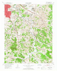
1997 Hermitage
Davidson County, TN
1997 Nashville East
Davidson County, TN
1997 Nashville West
Davidson County, TN
1997 Scottsboro
Davidson County, TN
1999 Antioch
Davidson County, TN
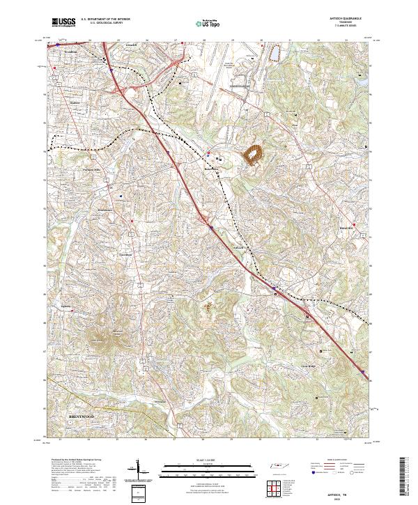
2022 Antioch
Davidson County, TN
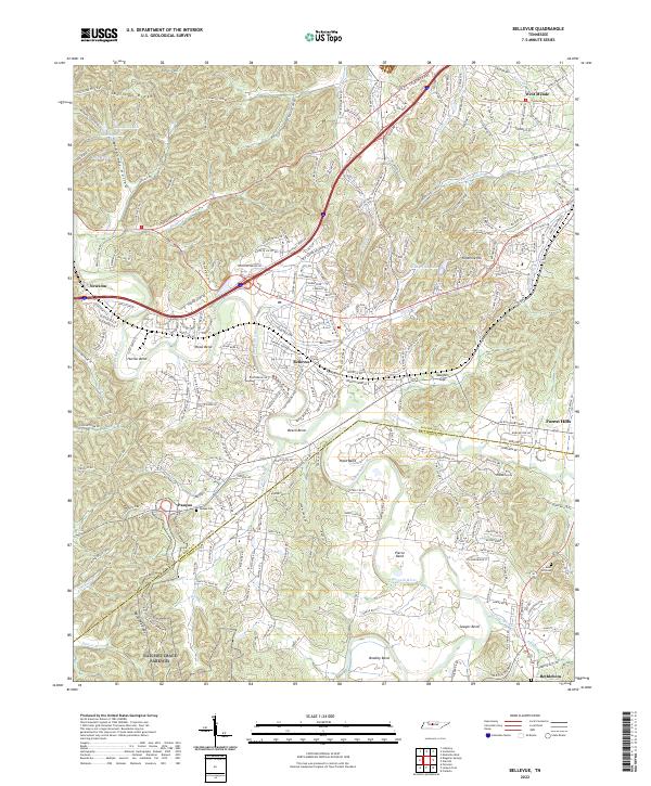
2022 Bellevue
Davidson County, TN
2022 Hermitage
Davidson County, TN
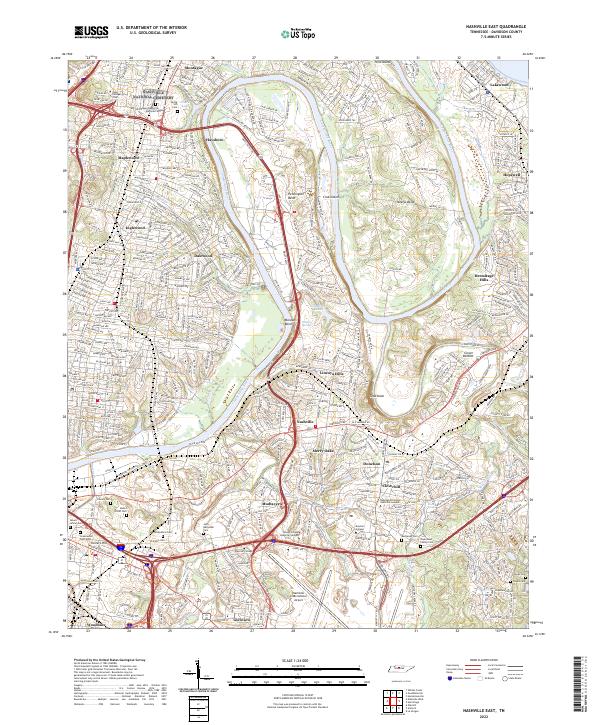
2022 Nashville East
Davidson County, TN
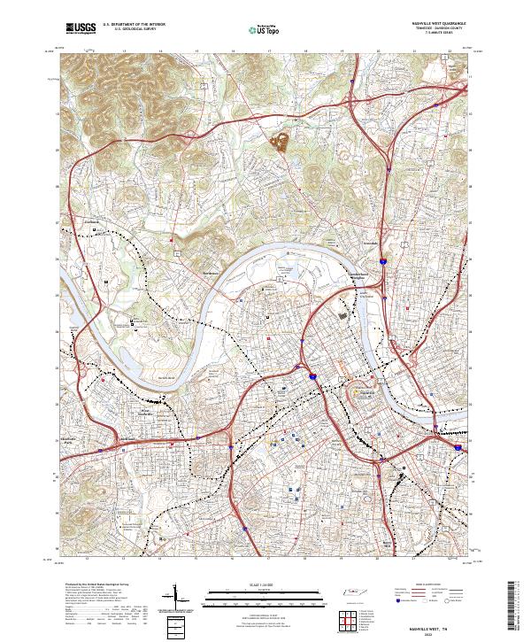
2022 Nashville West
Davidson County, TN
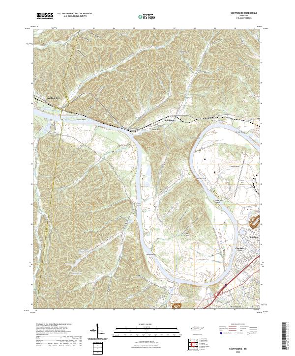
2022 Scottsboro
Davidson County, TN
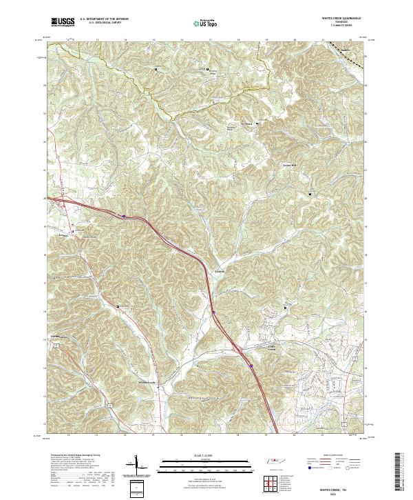
2022 Whites Creek
Davidson County, TN