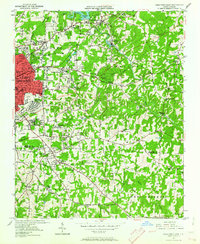
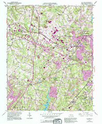
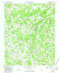
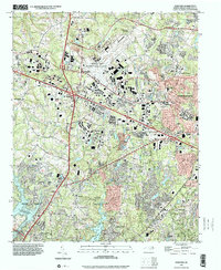
1950 Map of High Point East
USGS Topo · Published 1964This historical map portrays the area of High Point East in 1950, primarily covering Guilford County as well as portions of Randolph County. Featuring a scale of 1:24000, this map provides a highly detailed snapshot of the terrain, roads, buildings, counties, and historical landmarks in the High Point East region at the time. Published in 1964, it is one of 3 known editions of this map due to revisions or reprints.
Find a feature on this map
62 named features on this map. Tap any name to fly to it.
Don’t see what you’re looking for? This feature index may not catch every label — zoom into the map to look around manually.
Map Details
Editions of this 1950 High Point East Map
3 editions found
Historical Maps of Miles Crossroad Through Time
13 maps found
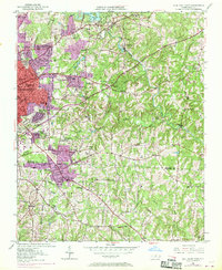
1950 High Point East
Guilford County, NC
1951 Browns Summit
Guilford County, NC
1951 Guilford
Guilford County, NC

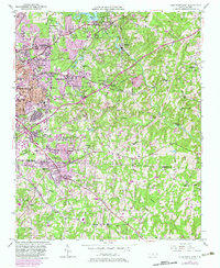
1951 High Point East
Guilford County, NC
1951 Lake Brandt
Guilford County, NC
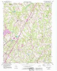
1952 Mc Leansville
Guilford County, NC
1970 Climax
Guilford County, NC
1970 Kimesville
Guilford County, NC
1977 Guilford
Guilford County, NC
1977 Mc Leansville
Guilford County, NC
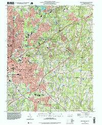
1993 High Point East
Guilford County, NC
1997 Guilford
Guilford County, NC
2002 High Point East
Guilford County, NC