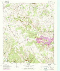
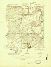
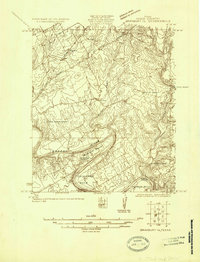
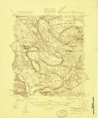
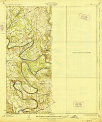
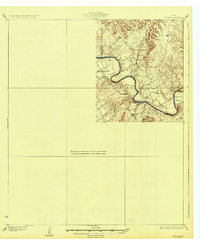
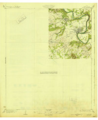
1961 Map of Hill City
USGS Topo · Published 1979About this map
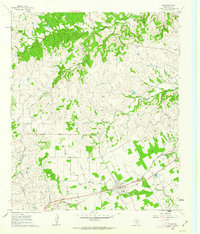
Hill City and Neri anchor this topographic survey of the landscape along the Hood and Somervell County line. The map captures a transition in land use, from the quiet rural community at Neri School and the Mt Pleasant Cemetery to the emerging public infrastructure of Dinosaur Valley State Park along the Paluxy River. Significant riparian networks including Contrary Creek, Squaw Creek, and Million Branch carve through the terrain, while infrastructure updates such as a landing strip and major pipelines signal the mid-century modernization of this Central Texas corridor.
Find a feature on this map
29 named features on this map. Tap any name to fly to it.
Don’t see what you’re looking for? This feature index may not catch every label — zoom into the map to look around manually.
Map Details
Editions of this 1961 Hill City Map
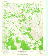
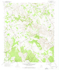
Other maps of this area
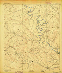
1889 · Granbury
USGS Topo · 1:125,000
1923 · Granbury 2-a
USGS Topo · 1:48,000
1923 · Granbury 1-b
USGS Topo · 1:48,000
1924 · Granbury 1-c
USGS Topo · 1:48,000
1928 · Godley
USGS Topo · 1:62,500
1931 · Morgan
USGS Topo · 1:62,500
1931 · Tolar
USGS Topo · 1:62,500

1954 · Dallas
USGS Topo · 1:250,000

1958 · Dallas
USGS Topo · 1:250,000
1960 · Tolar
USGS Topo · 1:24,000