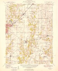
1949 Map of Hillsboro
USGS Topo · Published 1949About this map
Montgomery County's industrial and agricultural landscape is captured here in the late 1940s, centered on the county seat of Hillsboro. The era's transportation network is dominated by the New York Central and the St Louis and Chicago railroads, which served as the primary conduits for local trade. Outside the established town limits of Schram City and Coffeen, the map reveals a dense network of country school districts and family cemeteries that defined rural life before mid-century consolidation. Places like Sycamore School and Prairie College Sch stand alongside numerous burial grounds such as Cress Hill Cem and Taylor Cem. The landscape is physically shaped by water management and industry, featuring the Big Four Reservoir and various Gravel Pits along the Shoal Creek drainage system, illustrating the infrastructure supporting this Illinois region during its post-war development.
Find a feature on this map
102 named features on this map. Tap any name to fly to it.
Don’t see what you’re looking for? This feature index may not catch every label — zoom into the map to look around manually.
Map Details
Editions of this 1949 Hillsboro Map
2 editions found

Other maps of this area

1915 · Mount Olive
USGS Topo · 1:62,500

1923 · Raymond
USGS Topo · 1:62,500

1925 · Raymond
USGS Topo · 1:62,500

1932 · Greenville
USGS Topo · 1:62,500

1937 · New Douglas
USGS Topo · 1:48,000

1939 · Greenville
USGS Topo · 1:62,500

1943 · Greenville
USGS Topo · 1:62,500

1944 · New Douglas
USGS Topo · 1:62,500

1944 · Mount Olive
USGS Topo · 1:62,500

1944 · Ramsey
USGS Topo · 1:62,500