
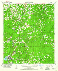
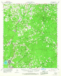
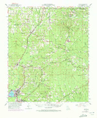
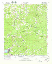
1953 Map of Hodge
USGS Topo · Published 1954About this map
The industrial corridor of the Chicago Rock Island and Pacific railroad anchors the landscape of central Jackson Parish in the early 1950s. The heavy commercial activity of Hodge and the neighboring seat of Jonesboro is balanced by a rural interior thick with family-named landmarks and early community centers. Small settlements like Quitman, Ansley, and the colorfully named Punkin Center are connected by a network of unimproved roads and light-duty trails.
Find a feature on this map
81 named features on this map. Tap any name to fly to it.
Don’t see what you’re looking for? This feature index may not catch every label — zoom into the map to look around manually.
Map Details
Editions of this 1953 Hodge Map
5 editions found
Other maps of this area

1947 · Goldonna
USGS Topo · 1:62,500

1947 · Bienville
USGS Topo · 1:62,500

1949 · Bienville
USGS Topo · 1:62,500

1949 · Jonesboro
USGS Topo · 1:62,500

1950 · Jonesboro
USGS Topo · 1:62,500

1950 · Ruston
USGS Topo · 1:62,500

1950 · Arcadia
USGS Topo · 1:62,500

1951 · Arcadia
USGS Topo · 1:62,500

1951 · Ruston
USGS Topo · 1:62,500

1952 · Calhoun
USGS Topo · 1:62,500