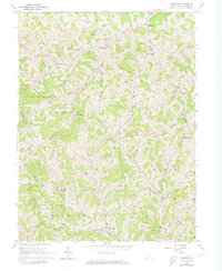
1964 Map of Holbrook
USGS Topo · Published 1973About this map
The rugged valleys of Greene County are defined by a network of runs and creeks, where small settlements like Holbrook and Pine Bank anchor rural life. This 1960s landscape, later updated in the 1970s, shows a countryside transitioning through the mid-century, with traditional landmarks like a Covered Bridge on Hargus Creek appearing alongside the development of State Game Lands No 179. The map reveals a deeply rooted community, marked by family-named burial sites such as Fordyce Cem and Phillips New Cem, and spiritual centers like Macedonia Ch and Valley Chapel Ch. Education in the area is represented by both the Willow Grove Sch and the more centralized West Greene High Sch. Topographical detail highlights the numerous gas wells scattered across the hills, reflecting the region's long-standing connection to resource extraction amidst the complex drainages of Pursley Creek and McCourtney Run.
Find a feature on this map
44 named features on this map. Tap any name to fly to it.
Don’t see what you’re looking for? This feature index may not catch every label — zoom into the map to look around manually.
Map Details
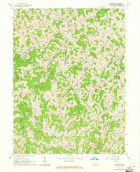
Editions of this 1964 Holbrook Map
2 editions found
Other maps of this area

1901 · Waynesburg
USGS Topo · 1:62,500

1904 · Blacksville
USGS Topo · 1:62,500

1904 · Waynesburg
USGS Topo · 1:62,500

1905 · Mannington
USGS Topo · 1:62,500

1905 · Rogersville
USGS Topo · 1:62,500

1923 · Blacksville
USGS Topo · 1:62,500

1923 · Mannington
USGS Topo · 1:62,500

1925 · Blacksville
USGS Topo · 1:62,500

1926 · Mannington
USGS Topo · 1:62,500

1949 · Clarksburg
USGS Topo · 1:250,000