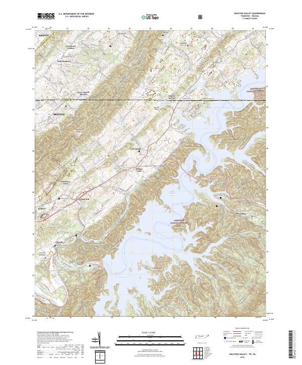
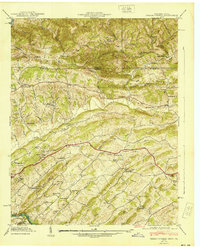
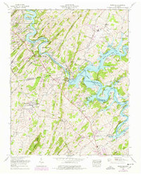
2022 Map of Holston Valley
USGS Topo · Published 2022About this map
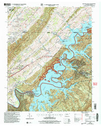
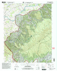
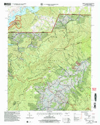
South Holston Lake dominates the central and southern reaches of this landscape, its complex shoreline carving around The Knobs and into Deep Hole Hollow. The geography is defined by a series of parallel ridges and valleys, including McConnell Ridge and the Paperville Knobs, which separate small agricultural and residential pockets from the timbered reaches of the Cherokee National Forest and Jefferson National Forest. The settlement pattern is largely influenced by these natural corridors, with clusters of homes and small communities like Painter Spring, Cold Spring, and the curiously named Goose Pimple Junction situated along the valley floors.
Find a feature on this map
154 named features on this map. Tap any name to fly to it.
Don’t see what you’re looking for? This feature index may not catch every label — zoom into the map to look around manually.
Map Details
Editions of this 2022 Holston Valley Map
This is the sole edition of this map. No revisions or reprints were ever made.
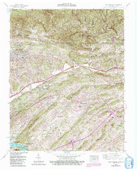
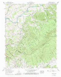
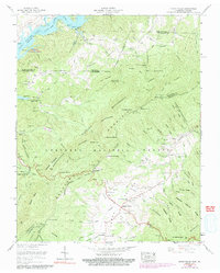
Historical Maps of Presbytery Camp Through Time
22 maps found

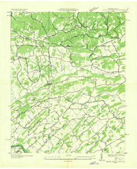
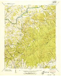
1934 Holston Valley
Sullivan County, TN
1935 Indian Springs
Sullivan County, TN
1935 Keenburg
Sullivan County, TN
1935 Shady Valley
Sullivan County, TN

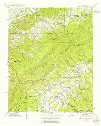
1938 Holston Valley
Sullivan County, TN
1938 Keenburg
Sullivan County, TN
1938 Shady Valley
Sullivan County, TN
1939 Indian Springs
Sullivan County, TN
1940 Indian Springs
Sullivan County, TN
1959 Boone Dam
Sullivan County, TN
1959 Indian Springs
Sullivan County, TN

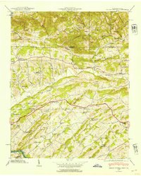
1960 Holston Valley
Sullivan County, TN
1960 Keenburg
Sullivan County, TN
1960 Shady Valley
Sullivan County, TN
2003 Holston Valley
Sullivan County, TN
2003 Keenburg
Sullivan County, TN
2003 Shady Valley
Sullivan County, TN
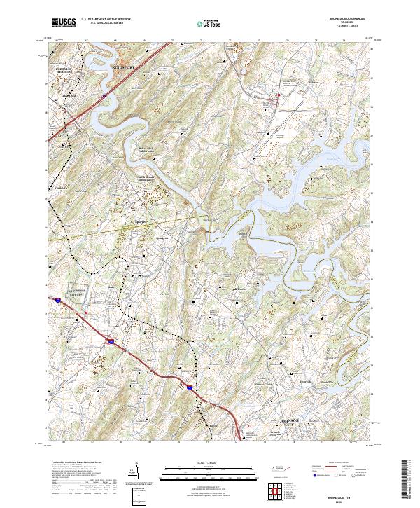
2022 Boone Dam
Sullivan County, TN
2022 Holston Valley
Sullivan County, TN
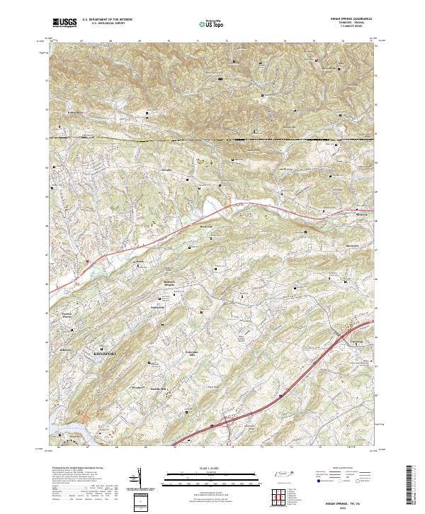
2022 Indian Springs
Sullivan County, TN
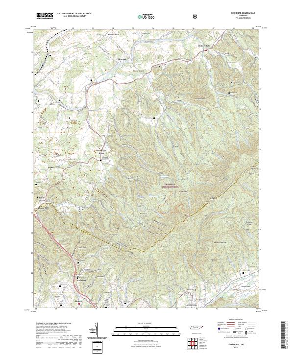
2022 Keenburg
Sullivan County, TN
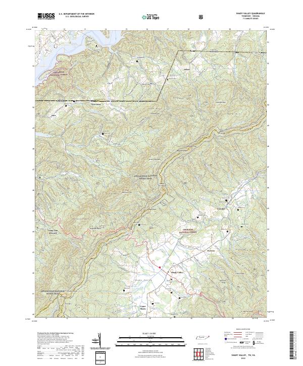
2022 Shady Valley
Sullivan County, TN