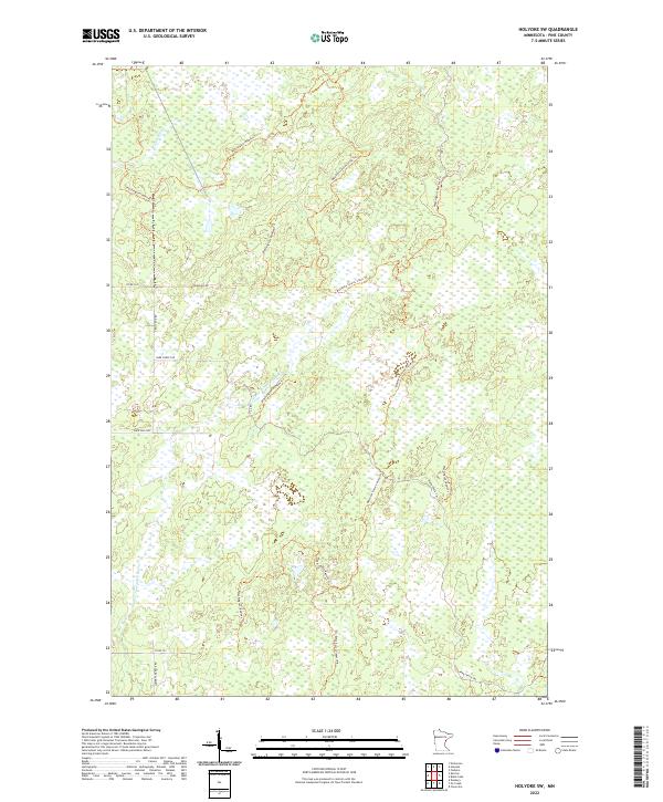
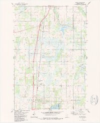
2022 Map of Holyoke SW
USGS Topo · Published 2022About this map
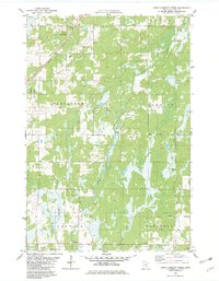
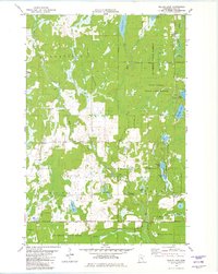
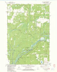
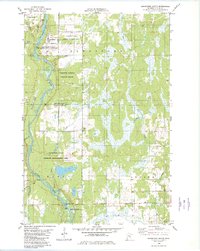
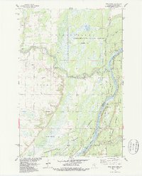
The Lower Tamarack River and Willow River define the drainage of this wetland-heavy landscape in eastern Pine County. A network of primitive roads and recreational paths dominates the geography, most notably the Matthew Lourey State Trl and the Washington/Ramsey Trl, which wind through the township boundaries of T45N and T44N. The terrain is characterized by extensive marshlands and small basins, with very little permanent settlement beyond isolated rural roads such as Townline Rd and Park Forest Rd. Local history and land use are reflected in the access routes through the timber and bog, including the aptly named Trails End Rd and the Park Truck Trl. This map provides a clear view of the state's managed natural lands and the intersection of various public forest trails.
Find a feature on this map
16 named features on this map. Tap any name to fly to it.
Don’t see what you’re looking for? This feature index may not catch every label — zoom into the map to look around manually.
Map Details
Editions of this 2022 Holyoke SW Map
This is the sole edition of this map. No revisions or reprints were ever made.
Historical Maps of Nickerson Township Through Time
31 maps found

1949 Holyoke
Pine County, MN
1962 Cloverdale
Pine County, MN
1962 Holyoke
Pine County, MN
1968 Giese
Pine County, MN
1981 Askov Lookout Tower
Pine County, MN
1981 Cloverdale
Pine County, MN
1981 Duxbury
Pine County, MN
1981 Sandstone North
Pine County, MN
1981 Wilbur Lake
Pine County, MN
1982 Lake Clayton
Pine County, MN
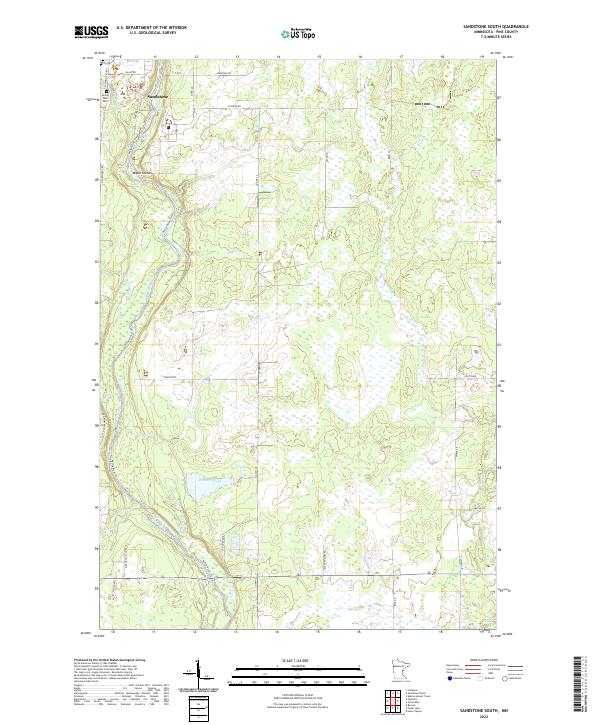
1982 Sandstone South
Pine County, MN
1983 Bass Creek
Pine County, MN
1983 Beroun
Pine County, MN
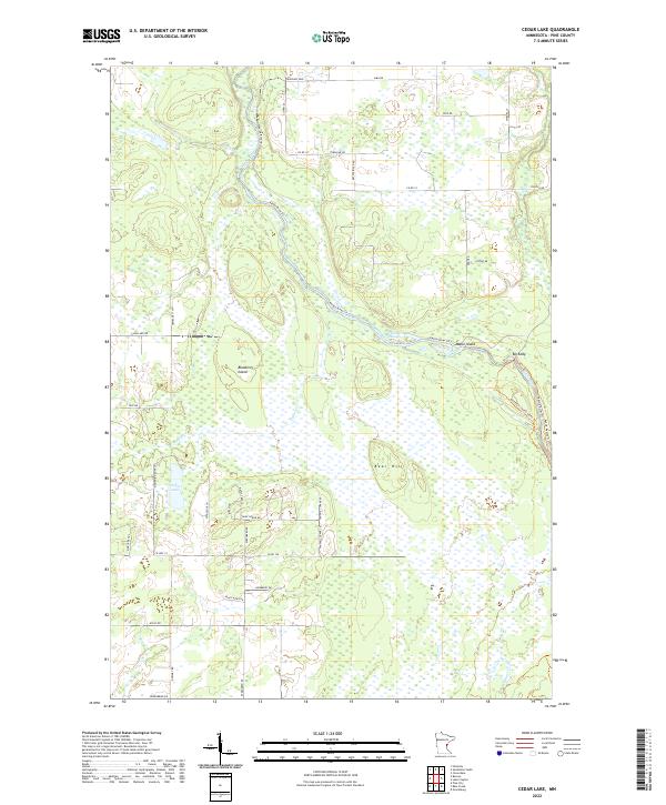
1983 Cedar Lake
Pine County, MN
1983 Cloverton
Pine County, MN
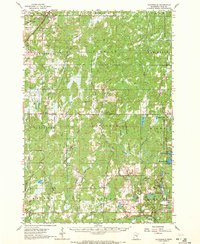
1983 Holyoke SW
Pine County, MN
1983 Ox Creek
Pine County, MN
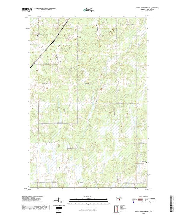
2022 Askov Lookout Tower
Pine County, MN
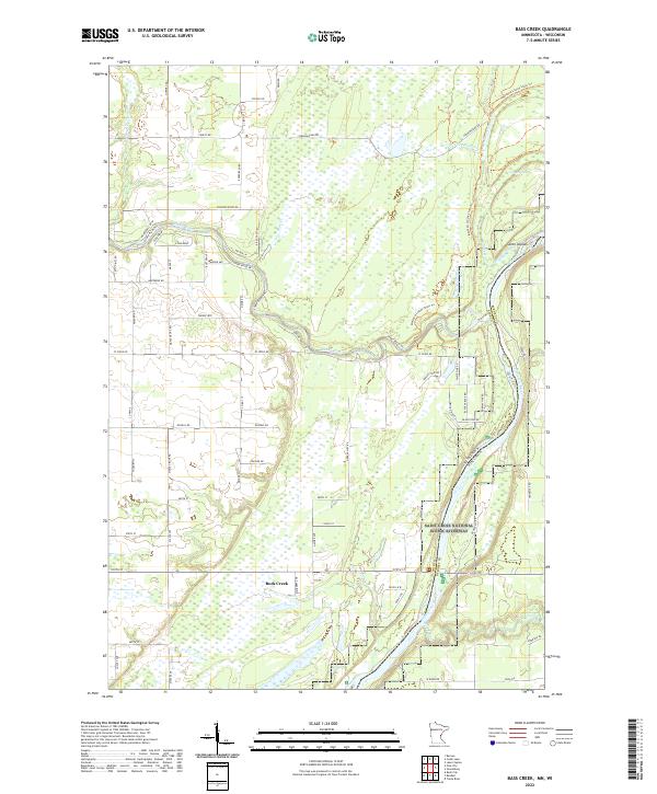
2022 Bass Creek
Pine County, MN
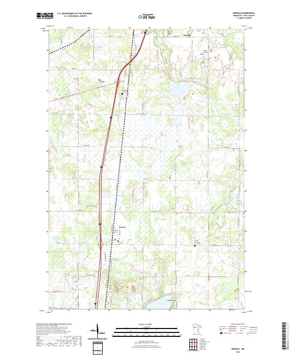
2022 Beroun
Pine County, MN
2022 Cedar Lake
Pine County, MN
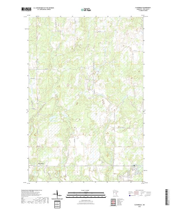
2022 Cloverdale
Pine County, MN
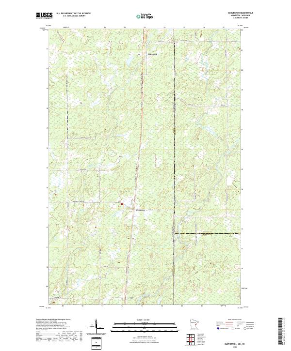
2022 Cloverton
Pine County, MN
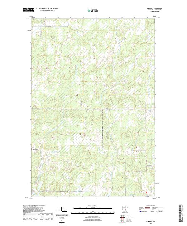
2022 Duxbury
Pine County, MN
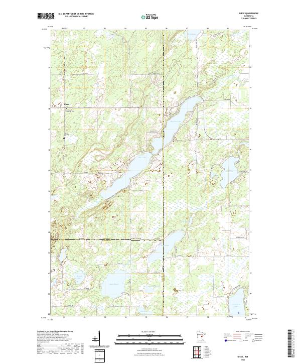
2022 Giese
Pine County, MN
2022 Holyoke SW
Pine County, MN
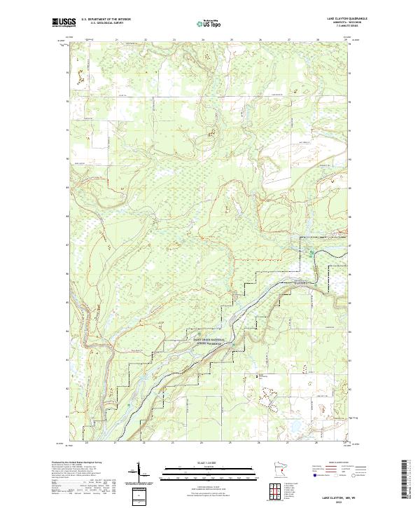
2022 Lake Clayton
Pine County, MN
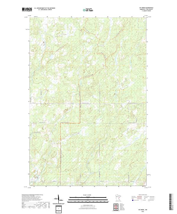
2022 Ox Creek
Pine County, MN
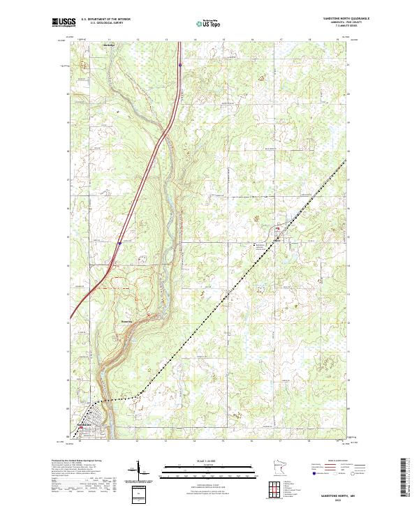
2022 Sandstone North
Pine County, MN
2022 Sandstone South
Pine County, MN
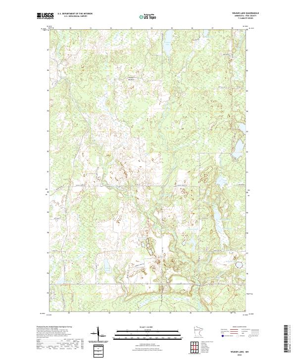
2022 Wilbur Lake
Pine County, MN