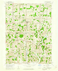
1960 Map of Homeworth
USGS Topo · Published 1961About this map
The Fairmount Childrens Home stands at the northwestern corner of this map, established near the Fairmount Mem Park (Cem) at the intersection of Cenfield Street and Salem Church Street. This 1960 survey highlights the rural character of the border between Stark and Columbiana Counties, where the Pennsylvania railroad line serves as a central artery through the small village of Homeworth. The landscape is a mix of agricultural plots and small industrial operations, evidenced by oil wells near Reading and strip mines further south near Chambersburg. Genealogists will find several burial grounds, including Walker Cemetery and Edwards Cemetery, while the presence of the Knox School and Moultrie Chapel indicates a well-established community infrastructure along the banks of the Middle Branch Sandy Creek.
Find a feature on this map
50 named features on this map. Tap any name to fly to it.
Don’t see what you’re looking for? This feature index may not catch every label — zoom into the map to look around manually.
Map Details
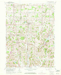
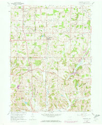
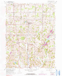
Editions of this 1960 Homeworth Map
4 editions found
Other maps of this area

1905 · Salineville
USGS Topo · 1:62,500

1909 · Alliance
USGS Topo · 1:62,500

1909 · Lisbon
USGS Topo · 1:62,500

1910 · Carrollton
USGS Topo · 1:62,500

1912 · Carrollton
USGS Topo · 1:62,500

1951 · Canton
USGS Topo · 1:250,000

1952 · Alliance
USGS Topo · 1:24,000

1952 · Damascus
USGS Topo · 1:24,000

1953 · Canton
USGS Topo · 1:250,000

1957 · Canton
USGS Topo · 1:250,000